Transport Functions
Road
Multimodal
Hub Profile
Place type
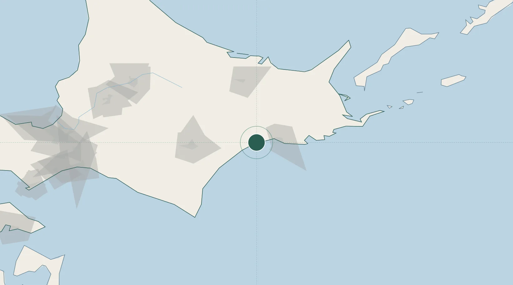
Populated place
Region
Hokkaido
Population
7,972
Time zone
Asia/Tokyo
Elevation
21 m
Location
Nearby Logistics Neighbours
Cities
- 1Kushiro20 km
- 2Shibetsu114 km
- 3Niikappu158 km
- 4Yuzhno-Kuril'sk187 km
- 5Takikawa, Hokkaido189 km
Ports
- 1Kushiro Ko23 km
- 2Tokachi101 km
- 3Abashiri Ko120 km
- 4Hanasaki Ko127 km
- 5Nemuro Ko129 km
Airports
- 1Kushiro Airport14 km
- 2Tokachi-Obihiro Airport75 km
- 3JASDF Kenebetsu Airfield75 km
- 4Tokachi Airport76 km
- 5Nakashibetsu Airport100 km
DatabookThe Record of Consolidated Knowledge
Japan beyond logistics?