Runway & Layout

Airport Specifications
ICAO code
RJCS
Airport class
Medium airport
Scheduled service
No
Served city
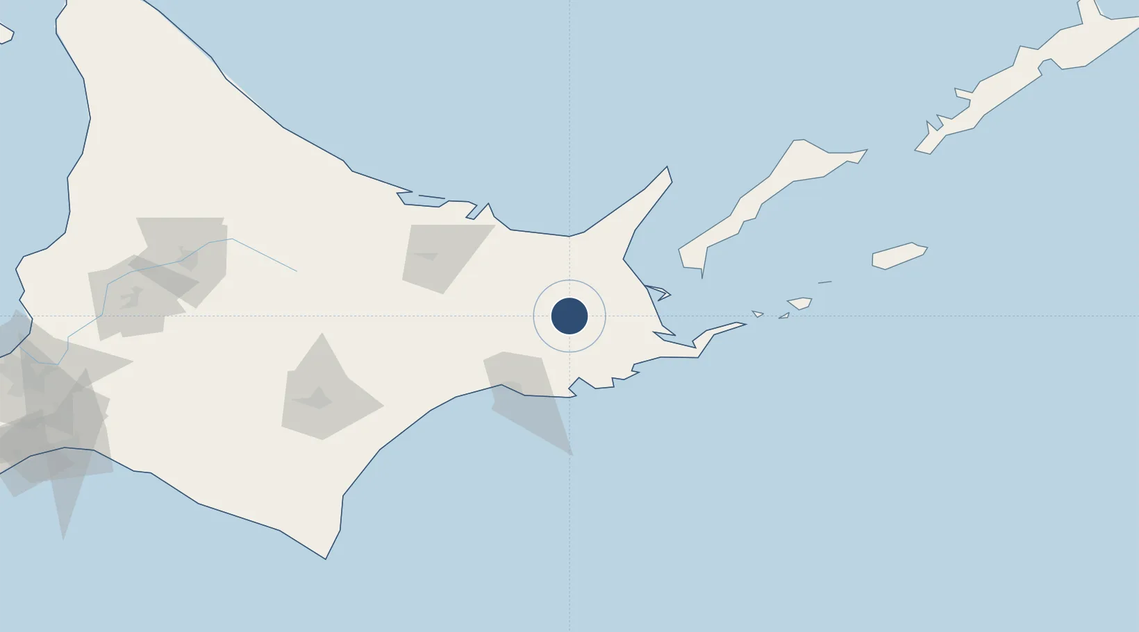
Betsukai
Location
Nearby Logistics Neighbours
Airports
- 1Nakashibetsu Airport25 km
- 2Kushiro Airport62 km
- 3Memanbetsu Airport69 km
- 4Yuzhno-Kurilsk Mendeleyevo Airport97 km
- 5Tokachi Airport142 km
Cities
- 1Shibetsu39 km
- 2Kushiro58 km
- 3Shiranuka75 km
- 4Yuzhno-Kuril'sk112 km
- 5Takikawa, Hokkaido230 km
Ports
- 1Kushiro Ko58 km
- 2Nemuro Ko69 km
- 3Hanasaki Ko70 km
- 4Abashiri Ko75 km
- 5Tokachi176 km
DatabookThe Record of Consolidated Knowledge
Japan beyond logistics?