Seaport · Japan

WakkanaiJPWKJ

43.4167°, 141.6833°
9.4 m
Channel depth

Channel & Berth Profile

SEA LEVEL (CD)CHANNEL BEDOil terminal · 7.5 mChannel · 9.4 mCargo pier · 11.0 mAnchorage · 14.0 m
NGA World Port Index

Pilotage, Tugs & Services

Pilotage compulsoryNO
Pilotage availableYES
Tug assistanceYES
Potable waterYES
MedicalYES
NGA World Port Index

Facilities & Capabilities

Container
Ro-Ro
Liquid bulk
Dry bulk
Oil terminal
Break bulk
Dry dockNO
RepairsNO
BunkeringYES
Rail linkYES
Dangerous cargo
ISPS security
NGA World Port Index

Harbour Specifications

Harbour size
Small
NGA World Port Index
Harbour type
Coastal (Breakwater)
NGA World Port Index
Shelter
Fair
NGA World Port Index
Water body
Sea of Japan; North Pacific Ocean
NGA World Port Index
Tidal range
0.4 m
NGA World Port Index
Pilotage
No
NGA World Port Index

Location

Location of JPWKJ
Natural Earth 10m (public domain) · Hokkaidō · JPWKJ · 43.42, 141.68GoogleOSMYandex

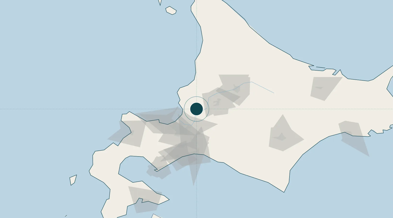
Nearby Logistics Neighbours

Ports
  1. 1Ishikari Bay New Port39 km
  2. 2Otaru Ko59 km
  3. 3Rumoi Ko59 km
  4. 4Tomakomai Ko87 km
  5. 5Muroran Ko132 km
Nearest neighbours — logibook spatial index (haversine) over the source coordinates
Cities
  1. 1Takikawa, Hokkaido23 km
  2. 2Iwamizawa25 km
  3. 3Ishikariwan Shinko40 km
  4. 4Ishikari41 km
  5. 5Sapporo47 km
Nearest neighbours — logibook spatial index (haversine) over the source coordinates
Airports
  1. 1Sapporo Okadama Airport41 km
  2. 2Asahikawa Airport68 km
  3. 3JASDF Chitose Air Base69 km
  4. 4New Chitose Airport71 km
  5. 5Tokachi Airport133 km
Nearest neighbours — logibook spatial index (haversine) over the source coordinates
DatabookThe Record of Consolidated Knowledge
Japan beyond logistics?
Browse databook

All Sources

Portsthe NGA World Port Index
Public domain (US gov)
AirportsOurAirports
Public domain
LocationsUN/LOCODE
UN/LOCODE — free
Trade Zonesthe World Bank SEZ database
CC BY 4.0
Trade ZonesOpen Zone Map
CC BY
← Japan ports