UN/LOCODE hub · Russia
RUDEE
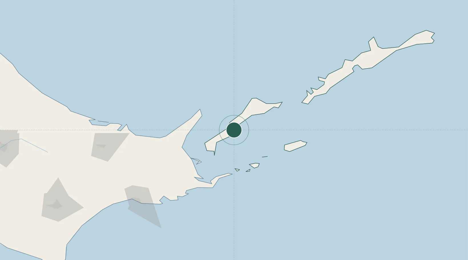
Yuzhno-Kuril'sk
44.0333°, 145.8500°
7,777
Population
2
Transport functions
Transport Functions
Port
Airport
Hub Profile
Place type
Populated place
Region
Sakhalin Oblast
Population
7,777
Time zone
Asia/Sakhalin
Elevation
41 m
Location
Nearby Logistics Neighbours
Cities
- 1Shibetsu73 km
- 2Kushiro169 km
- 3Kuril'skiy Burevestnik AFB (Burevestnik AFB)173 km
- 4Shiranuka187 km
- 5Takikawa, Hokkaido322 km
Ports
- 1Nemuro Ko81 km
- 2Hanasaki Ko86 km
- 3Abashiri Ko125 km
- 4Kushiro Ko167 km
- 5Tokachi287 km
Airports
- 1Yuzhno-Kurilsk Mendeleyevo Airport16 km
- 2Nakashibetsu Airport88 km
- 3JASDF Kenebetsu Airfield112 km
- 4Memanbetsu Airport136 km
- 5Kushiro Airport173 km
DatabookThe Record of Consolidated Knowledge
Russia beyond logistics?