Medium airport · Japan

Tokachi-Obihiro AirportRJCB
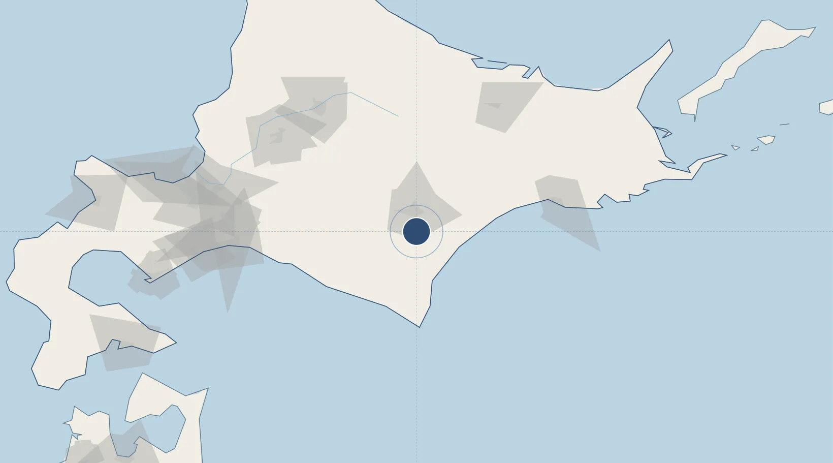
42.7333°, 143.2170°
8,202 ft
Longest runway
1
Runways
505 ft
Elevation

Runway & Layout

Tokachi-Obihiro Airport runway & taxiway layout
Runway & taxiway layout — OpenStreetMap (ODbL) / OurAirports

Radio Frequencies

TWR
118.7 MHz
ACC
128.325 MHz
SAPPORO CON
OurAirports

Navaids

OB NDB Obihiro 326 kHz
OBE VOR-DME Obihiro 109.65 MHz
OurAirports

Runways · 1

RunwayDimensions SurfaceTrue headingLit
17/35 8,202 × 150ft Asphalt 159°
OurAirports

Airport Specifications

IATA code
OBO
OurAirports
ICAO code
RJCB
OurAirports
Airport class
Medium airport
OurAirports
Scheduled service
Yes
OurAirports
Runway surface
Asphalt
OurAirports
Served city
Obihiro
OurAirports

Location

Location of RJCB
Natural Earth 10m (public domain) · Hokkaidō · RJCB · 42.73, 143.22GoogleOSMYandex

Nearby Logistics Neighbours

Airports
  1. 1Tokachi Airport18 km
  2. 2Kushiro Airport87 km
  3. 3Asahikawa Airport122 km
  4. 4New Chitose Airport125 km
  5. 5JASDF Chitose Air Base127 km
Nearest neighbours — logibook spatial index (haversine) over the source coordinates
Cities
  1. 1Shiranuka75 km
  2. 2Niikappu84 km
  3. 3Kushiro95 km
  4. 4Tomakomai120 km
  5. 5Iwamizawa130 km
Nearest neighbours — logibook spatial index (haversine) over the source coordinates
Ports
  1. 1Tokachi54 km
  2. 2Kushiro Ko98 km
  3. 3Tomakomai Ko130 km
  4. 4Wakkanai146 km
  5. 5Ishikari Bay New Port166 km
Nearest neighbours — logibook spatial index (haversine) over the source coordinates
DatabookThe Record of Consolidated Knowledge
Japan beyond logistics?
Browse databook

All Sources

AirportsOurAirports
Public domain
Portsthe NGA World Port Index
Public domain (US gov)
LocationsUN/LOCODE
UN/LOCODE — free
Trade Zonesthe World Bank SEZ database
CC BY 4.0
Trade ZonesOpen Zone Map
CC BY
InfrastructureOpenStreetMap
ODbL 1.0
← Japan airports