Channel & Berth Profile
Pilotage, Tugs & Services
Pilotage compulsoryNO
Pilotage availableYES
Tug assistanceYES
Potable waterYES
Diesel bunkersYES
MedicalYES
Facilities & Capabilities
Container—
Ro-Ro—
Liquid bulk—
Dry bulk—
Oil terminal—
Break bulk—
Dry dock—
RepairsNO
Bunkering—
Rail linkYES
Dangerous cargo—
ISPS security—
Harbour Specifications
Harbour size
Small
Harbour type
Coastal (Breakwater)
Shelter
Good
Water body
Sea of Okhotsk; North Pacific Ocean
Tidal range
2 m
Overhead limit
Yes
Pilotage
No
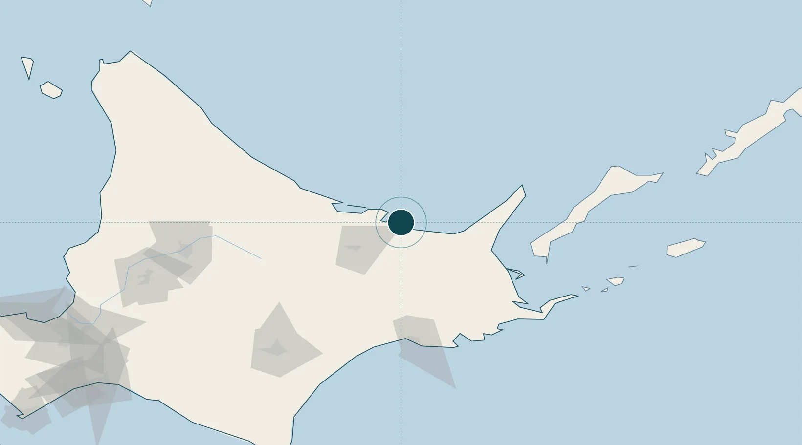
Location
Nearby Logistics Neighbours
Ports
- 1Kushiro Ko115 km
- 2Nemuro Ko129 km
- 3Hanasaki Ko133 km
- 4Tokachi212 km
- 5Rumoi Ko212 km
Cities
- 1Shibetsu78 km
- 2Kushiro113 km
- 3Shiranuka120 km
- 4Yuzhno-Kuril'sk125 km
- 5Takikawa, Hokkaido198 km
Airports
- 1Memanbetsu Airport18 km
- 2Nakashibetsu Airport73 km
- 3JASDF Kenebetsu Airfield75 km
- 4Monbetsu Airport77 km
- 5Kushiro Airport109 km
DatabookThe Record of Consolidated Knowledge
Japan beyond logistics?