Seaport · Japan
KanazawaJPKNZ
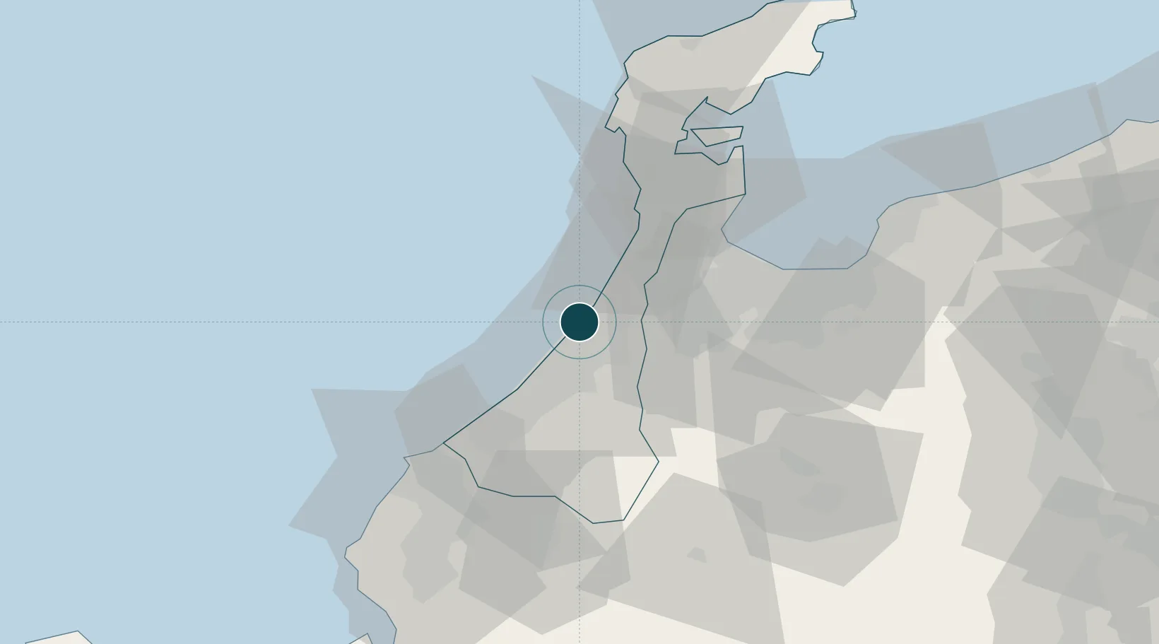
36.6167°, 136.6000°
9.4 m
Channel depth
1
Container terminals
64.1
Port liner connectivity
Channel & Berth Profile
Pilotage, Tugs & Services
Pilotage compulsoryNO
Pilotage availableYES
Tug assistanceYES
Potable waterYES
MedicalYES
Facilities & Capabilities
Container—
Ro-Ro—
Liquid bulk—
Dry bulk—
Oil terminal—
Break bulk—
Dry dock—
RepairsNO
BunkeringYES
Rail link—
Dangerous cargo—
ISPS security—
Harbour Specifications
Harbour size
Small
Harbour type
River (Basins)
Shelter
Fair
Water body
Sea of Japan; North Pacific Ocean
Tidal range
4 m
Overhead limit
No
Pilotage
No
Liner Connectivity
64.1
PLSCI
Port Liner Shipping Connectivity Index for Kanazawa, as published by UNCTAD for the latest available quarter. Higher values indicate stronger scheduled liner-shipping integration.
Shown relative to the highest per-port PLSCI in the dataset (1,657.9).
Location
Container Terminals · 1
KANAZAWA OKUDA CONTAINER TERMINAL
KOCT KANAZAWA PORT AUTHORITY
Nearby Logistics Neighbours
Ports
- 1Fushiki-Toyama50 km
- 2Nanao Ko59 km
- 3Fukui71 km
- 4Tsuruga Ko118 km
- 5Himekawa121 km
Cities
- 1Tsubata, Ishikawa13 km
- 2Nomi21 km
- 3Ataka28 km
- 4Nanto29 km
- 5Tonami31 km
Airports
- 1Komatsu Airport / JASDF Komatsu Air Base30 km
- 2Toyama Kitokito Airport53 km
- 3Fukui Airport63 km
- 4Noto Satoyama Airport82 km
- 5Shinshu-Matsumoto Airport129 km
Trade Zones
DatabookThe Record of Consolidated Knowledge
Japan beyond logistics?