Transport Functions
Multimodal
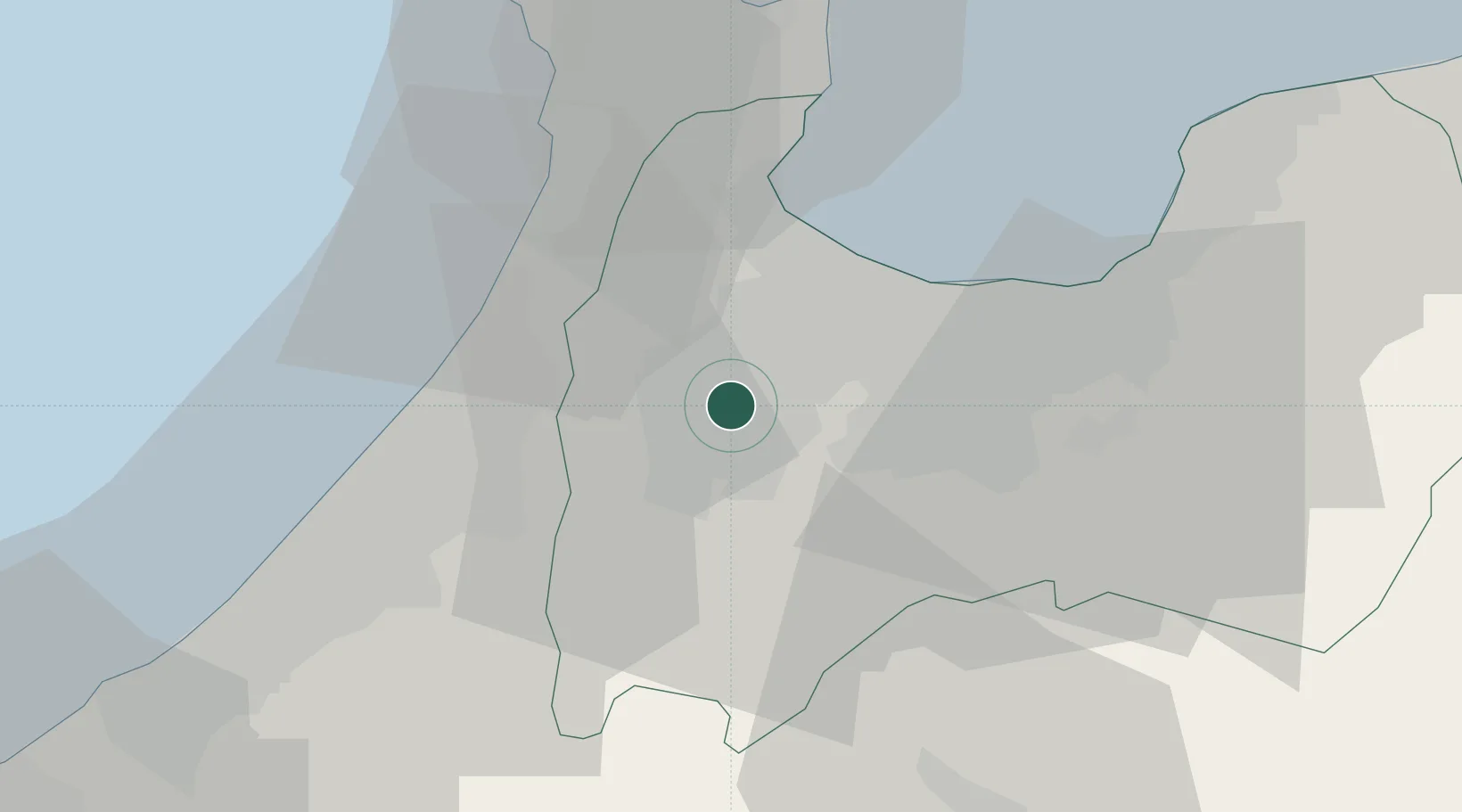
Hub Profile
Place type
Provincial seat
Region
Toyama
Population
48,659
Time zone
Asia/Tokyo
Elevation
61 m
Location
Nearby Logistics Neighbours
Cities
- 1Nanto6 km
- 2Tsubata, Ishikawa20 km
- 3Toyama21 km
- 4Toyamashinko21 km
- 5Fushikitoyama24 km
Ports
- 1Fushiki-Toyama22 km
- 2Kanazawa31 km
- 3Nanao Ko46 km
- 4Himekawa92 km
- 5Fukui92 km
Airports
- 1Toyama Kitokito Airport21 km
- 2Komatsu Airport / JASDF Komatsu Air Base55 km
- 3Noto Satoyama Airport73 km
- 4Fukui Airport85 km
- 5Shinshu-Matsumoto Airport101 km
Trade Zones
- 1Toyama Community-based Welfare Promotion Special Zone21 km
- 2Nagahama Bio-Life Science Special Zone154 km
- 3Toyota Next Generation Energy and Mobility Creation Special Zone167 km
- 4Nagaoka Independent Local Community Creation Special Zone172 km
- 5Asias No. 1 Aerospace Industry Cluster Formation Special Zone176 km
DatabookThe Record of Consolidated Knowledge
Japan beyond logistics?