Large airport · Japan
Komatsu Airport / JASDF Komatsu Air BaseRJNK
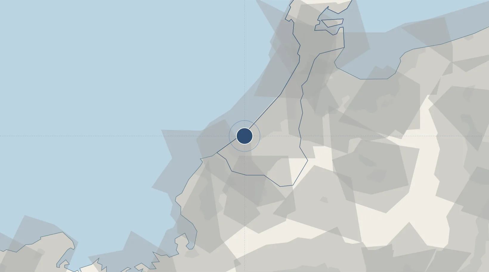
36.3934°, 136.4069°
8,876 ft
Longest runway
1
Runways
36 ft
Elevation
Runway & Layout

Radio Frequencies
TWR
118.25 MHz
GND
121.7 MHz
APP
120.1 MHz
DEP
120.1 MHz
TCA
127.95 MHz
Navaids
KMC VORTAC Komatsu 112.00 MHz
Runways · 1
| Runway | Dimensions | Surface | True heading | Lit |
|---|---|---|---|---|
| 06T/24T | 8,876 × 148ft | Asphalt | 056° | ✓ |
Airport Specifications
IATA code
KMQ
ICAO code
RJNK
Airport class
Large airport
Scheduled service
Yes
Runway surface
Asphalt
Served city
Kanazawa
Location
Nearby Logistics Neighbours
Airports
- 1Fukui Airport32 km
- 2Toyama Kitokito Airport75 km
- 3Noto Satoyama Airport112 km
- 4Gifu Airport119 km
- 5Nagoya Airport / JASDF Komaki Air Base135 km
Ports
- 1Kanazawa30 km
- 2Fukui41 km
- 3Fushiki-Toyama77 km
- 4Tsuruga Ko88 km
- 5Nanao Ko89 km
Trade Zones
- 1Toyama Community-based Welfare Promotion Special Zone76 km
- 2Nagahama Bio-Life Science Special Zone116 km
- 3Asias No. 1 Aerospace Industry Cluster Formation Special Zone155 km
- 4Toyota Next Generation Energy and Mobility Creation Special Zone155 km
- 5Kyoto City Regional Revitalization Comprehensive Special Zone158 km
DatabookThe Record of Consolidated Knowledge
Japan beyond logistics?