Transport Functions
Port
Road
Hub Profile
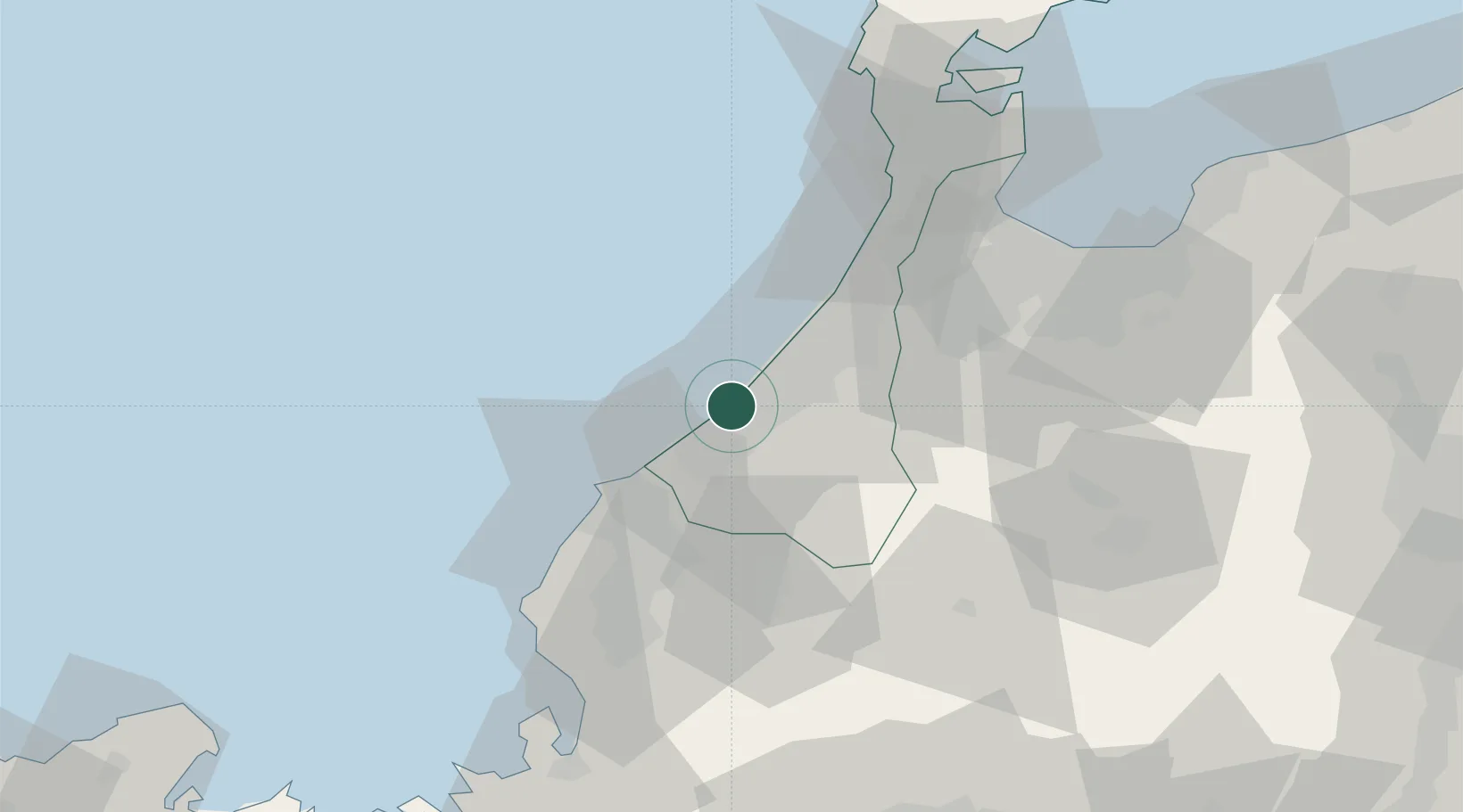
Place type
Locality
Region
Fukuoka
Time zone
Asia/Tokyo
Elevation
84 m
Location
Nearby Logistics Neighbours
Ports
- 1Kanazawa28 km
- 2Fukui44 km
- 3Fushiki-Toyama75 km
- 4Nanao Ko87 km
- 5Tsuruga Ko91 km
Airports
- 1Komatsu Airport / JASDF Komatsu Air Base3 km
- 2Fukui Airport35 km
- 3Toyama Kitokito Airport74 km
- 4Noto Satoyama Airport109 km
- 5Gifu Airport121 km
Trade Zones
- 1Toyama Community-based Welfare Promotion Special Zone73 km
- 2Nagahama Bio-Life Science Special Zone119 km
- 3Toyota Next Generation Energy and Mobility Creation Special Zone157 km
- 4Asias No. 1 Aerospace Industry Cluster Formation Special Zone158 km
- 5Kyoto City Regional Revitalization Comprehensive Special Zone161 km
DatabookThe Record of Consolidated Knowledge
Japan beyond logistics?