UN/LOCODE hub · Japan
JPKNZ
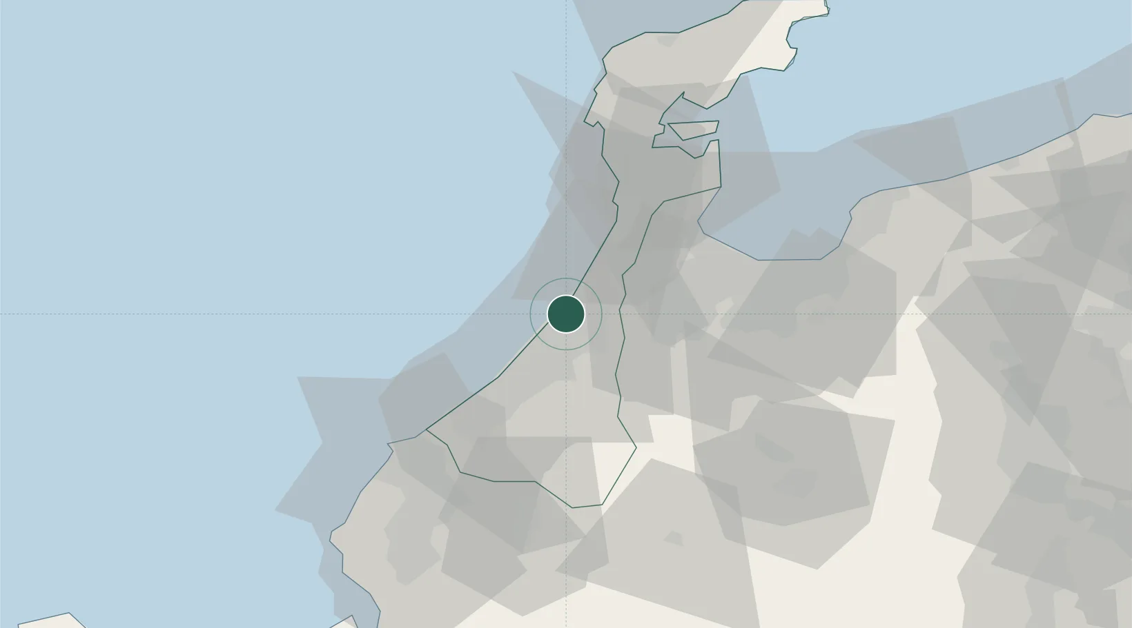
Kanazawa
36.6098°, 136.6197°
466,029
Population
1
Transport functions
1
Container terminals
Transport Functions
Port
Hub Profile
Place type
Regional capital
Region
Ishikawa
Population
466,029
Time zone
Asia/Tokyo
Elevation
-1 m
Logistics facilities
3
Container terminals
1
Location
Nearby Logistics Neighbours
Cities
- 1Tsubata, Ishikawa12 km
- 2Nomi21 km
- 3Nanto27 km
- 4Ataka28 km
- 5Tonami30 km
Ports
- 1Fushiki-Toyama49 km
- 2Nanao Ko59 km
- 3Fukui71 km
- 4Tsuruga Ko118 km
- 5Himekawa119 km
Airports
- 1Komatsu Airport / JASDF Komatsu Air Base31 km
- 2Toyama Kitokito Airport51 km
- 3Fukui Airport63 km
- 4Noto Satoyama Airport82 km
- 5Shinshu-Matsumoto Airport127 km
Trade Zones
DatabookThe Record of Consolidated Knowledge
Japan beyond logistics?