Channel & Berth Profile
Pilotage, Tugs & Services
Pilotage compulsoryYES
Pilotage availableYES
Tug assistanceYES
Potable waterYES
MedicalYES
Facilities & Capabilities
Container—
Ro-Ro—
Liquid bulk—
Dry bulk—
Oil terminal—
Break bulk—
Dry dock—
RepairsNO
BunkeringYES
Rail linkYES
Dangerous cargo—
ISPS security—
Harbour Specifications
Harbour size
Small
Harbour type
Coastal (Natural)
Shelter
Good
Water body
Sea of Japan; North Pacific Ocean
Tidal range
1 m
Pilotage
Yes
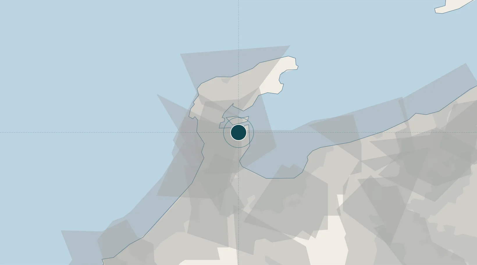
Location
Nearby Logistics Neighbours
Ports
- 1Fushiki-Toyama34 km
- 2Kanazawa59 km
- 3Himekawa77 km
- 4Naoetsu Ko113 km
- 5Fukui130 km
Cities
- 1Nakanoto11 km
- 2Fushikitoyama30 km
- 3Toyama31 km
- 4Toyamashinko33 km
- 5Kurobe46 km
Airports
- 1Noto Satoyama Airport27 km
- 2Toyama Kitokito Airport48 km
- 3Komatsu Airport / JASDF Komatsu Air Base89 km
- 4Fukui Airport122 km
- 5Shinshu-Matsumoto Airport129 km
Trade Zones
- 1Toyama Community-based Welfare Promotion Special Zone32 km
- 2Nagaoka Independent Local Community Creation Special Zone150 km
- 3Gunma Environmentally Friendly Livestock Promotion Special Zone179 km
- 4Gunma Cancer Treatment Technology Regional Revitalization Comprehensive Special Zone196 km
- 5Nagahama Bio-Life Science Special Zone199 km
DatabookThe Record of Consolidated Knowledge
Japan beyond logistics?