Specialized Zone · Japan

Asias No. 1 Aerospace Industry Cluster Formation Special Zone Active
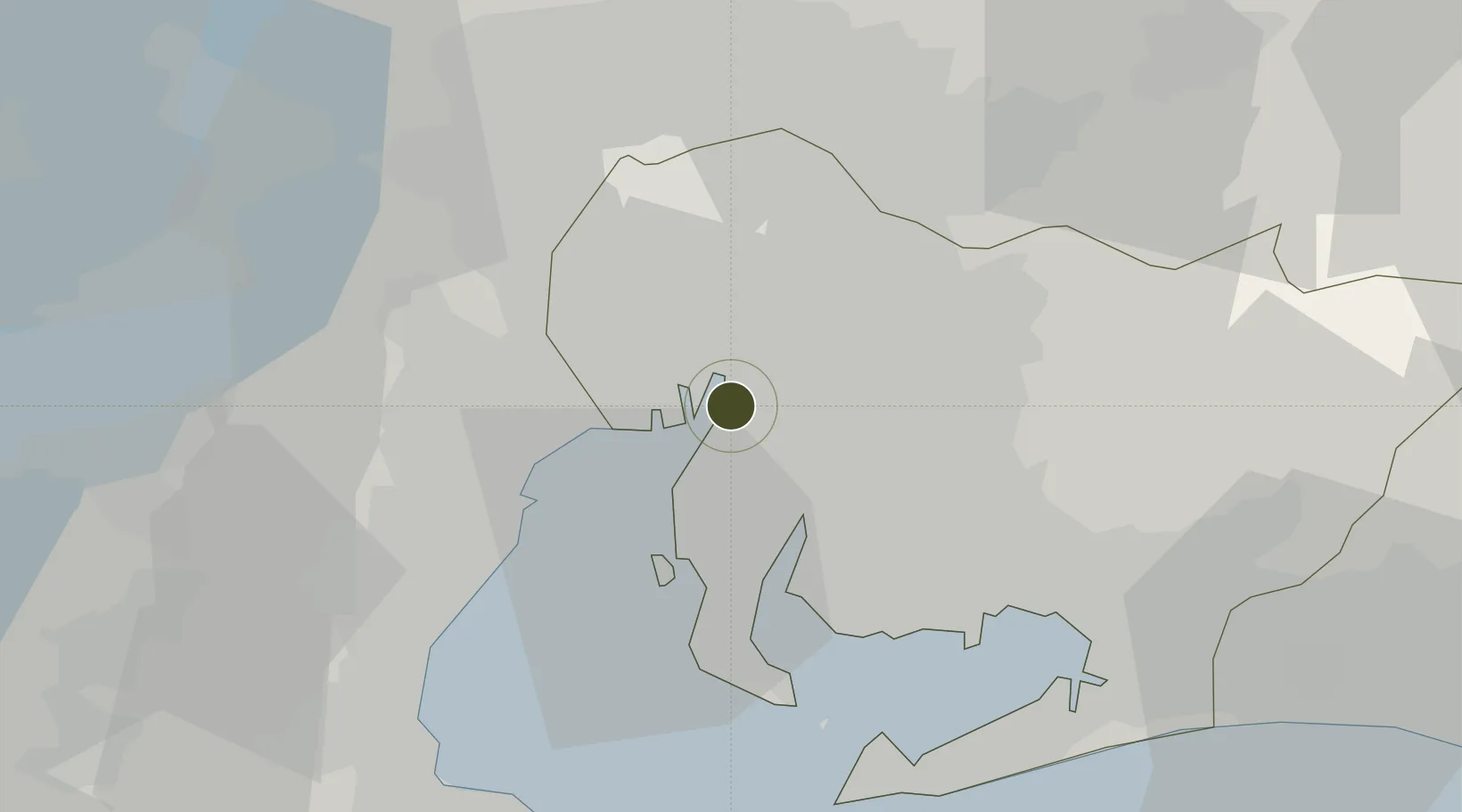
35.0535°, 136.8930°
140,000 ha
Zone area
2.8 km
Nearest port
22.7 km
Nearest airport

Gateway access

Nearest neighbours — logibook spatial index (haversine) over the source coordinates

Zone profile

Zone type
Specialized Zone
Open Zone Map
Specialization
Aerospace
Open Zone Map
Region
Aichi
Open Zone Map
Status
Active
Open Zone Map
Management
Public
Open Zone Map
Operator
Aichi Prefectural Government
Open Zone Map
Legal framework
Comprehensive Special Zone Law (Law No. 81 of 2011)
Open Zone Map

Location

Location of ozm-2584
Natural Earth 10m (public domain) · Aichi · ozm-2584 · 35.05, 136.89GoogleOSMYandex

Nearby Logistics Neighbours

Ports
  1. 1Nagoya Ko3 km
  2. 2Kinuura Ko23 km
  3. 3Yokkaichi26 km
  4. 4Gamagori Ko40 km
  5. 5Atsumi46 km
Nearest neighbours — logibook spatial index (haversine) over the source coordinates
Airports
  1. 1Nagoya Airport / JASDF Komaki Air Base23 km
  2. 2Chubu Centrair International Airport23 km
  3. 3Gifu Airport38 km
  4. 4JASDF Hamamatsu Air Base81 km
  5. 5Mount Fuji Shizuoka Airport122 km
Nearest neighbours — logibook spatial index (haversine) over the source coordinates
Cities
  1. 1Nagoya, Aichi6 km
  2. 2Obu8 km
  3. 3Higashiura10 km
  4. 4Kariya, Aichi11 km
  5. 5Agui Aichi13 km
Nearest neighbours — logibook spatial index (haversine) over the source coordinates
DatabookThe Record of Consolidated Knowledge
Japan beyond logistics?
Browse databook

All Sources

Trade ZonesOpen Zone Map
CC BY
Portsthe NGA World Port Index
Public domain (US gov)
AirportsOurAirports
Public domain
LocationsUN/LOCODE
UN/LOCODE — free
← Japan trade zones