Channel & Berth Profile
Pilotage, Tugs & Services
Pilotage compulsoryNO
Pilotage availableYES
Potable waterYES
MedicalYES
Facilities & Capabilities
Container—
Ro-Ro—
Liquid bulk—
Dry bulk—
Oil terminal—
Break bulk—
Dry dock—
Repairs—
BunkeringYES
Rail linkYES
Dangerous cargo—
ISPS security—
Harbour Specifications
Harbour size
Very Small
Harbour type
Open Roadstead
Shelter
Poor
Water body
Sea of Japan; North Pacific Ocean
Tidal range
1 m
Pilotage
No
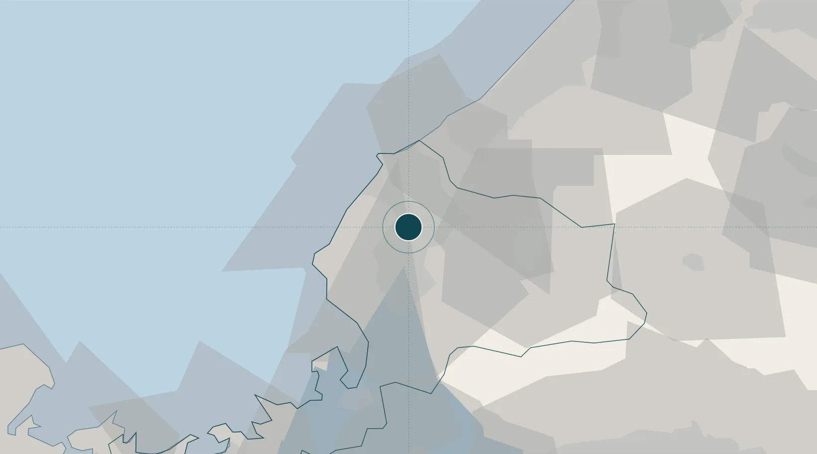
Location
Nearby Logistics Neighbours
Ports
- 1Tsuruga Ko48 km
- 2Kanazawa71 km
- 3Uchiura88 km
- 4Maizuru Ko99 km
- 5Miyazu108 km
Cities
- 1Eiheiji13 km
- 2Sabae Fukui13 km
- 3Awara17 km
- 4Ono27 km
- 5Kaga28 km
Airports
Trade Zones
- 1Nagahama Bio-Life Science Special Zone80 km
- 2Toyama Community-based Welfare Promotion Special Zone113 km
- 3Kyoto City Regional Revitalization Comprehensive Special Zone118 km
- 4Lake Biwa Southern Area New Industry Creation Special Zone125 km
- 5Asias No. 1 Aerospace Industry Cluster Formation Special Zone129 km
DatabookThe Record of Consolidated Knowledge
Japan beyond logistics?