Diversified Zone · Japan

Aichi Prefecture Strategic Special Zone Active
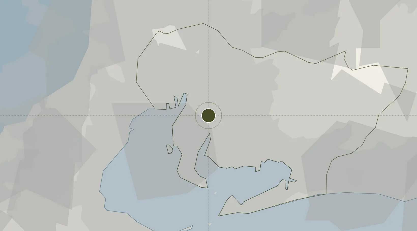
34.9988°, 136.9744°
517,292 ha
Zone area
12.4 km
Nearest port
22.0 km
Nearest airport

Gateway access

Nearest neighbours — logibook spatial index (haversine) over the source coordinates

Zone profile

Zone type
Diversified Zone
Open Zone Map
Region
Aichi
Open Zone Map
Status
Active
Open Zone Map
Management
Public
Open Zone Map
Operator
Aichi Prefectural Government
Open Zone Map
Legal framework
National Strategic Special Zones Law
Open Zone Map

Location

Location of ozm-2566
Natural Earth 10m (public domain) · Aichi · ozm-2566 · 35.00, 136.97GoogleOSMYandex

Nearby Logistics Neighbours

Ports
  1. 1Nagoya Ko12 km
  2. 2Kinuura Ko17 km
  3. 3Gamagori Ko30 km
  4. 4Yokkaichi31 km
  5. 5Atsumi38 km
Nearest neighbours — logibook spatial index (haversine) over the source coordinates
Airports
  1. 1Chubu Centrair International Airport22 km
  2. 2Nagoya Airport / JASDF Komaki Air Base29 km
  3. 3Gifu Airport45 km
  4. 4JASDF Hamamatsu Air Base72 km
  5. 5Mount Fuji Shizuoka Airport113 km
Nearest neighbours — logibook spatial index (haversine) over the source coordinates
Cities
  1. 1Higashiura2 km
  2. 2Kariya, Aichi2 km
  3. 3Obu2 km
  4. 4Chiryu7 km
  5. 5Agui Aichi10 km
Nearest neighbours — logibook spatial index (haversine) over the source coordinates
DatabookThe Record of Consolidated Knowledge
Japan beyond logistics?
Browse databook

All Sources

Trade ZonesOpen Zone Map
CC BY
Portsthe NGA World Port Index
Public domain (US gov)
AirportsOurAirports
Public domain
LocationsUN/LOCODE
UN/LOCODE — free
← Japan trade zones