Specialized Zone · Japan

Toyota Next Generation Energy and Mobility Creation Special Zone Inactive
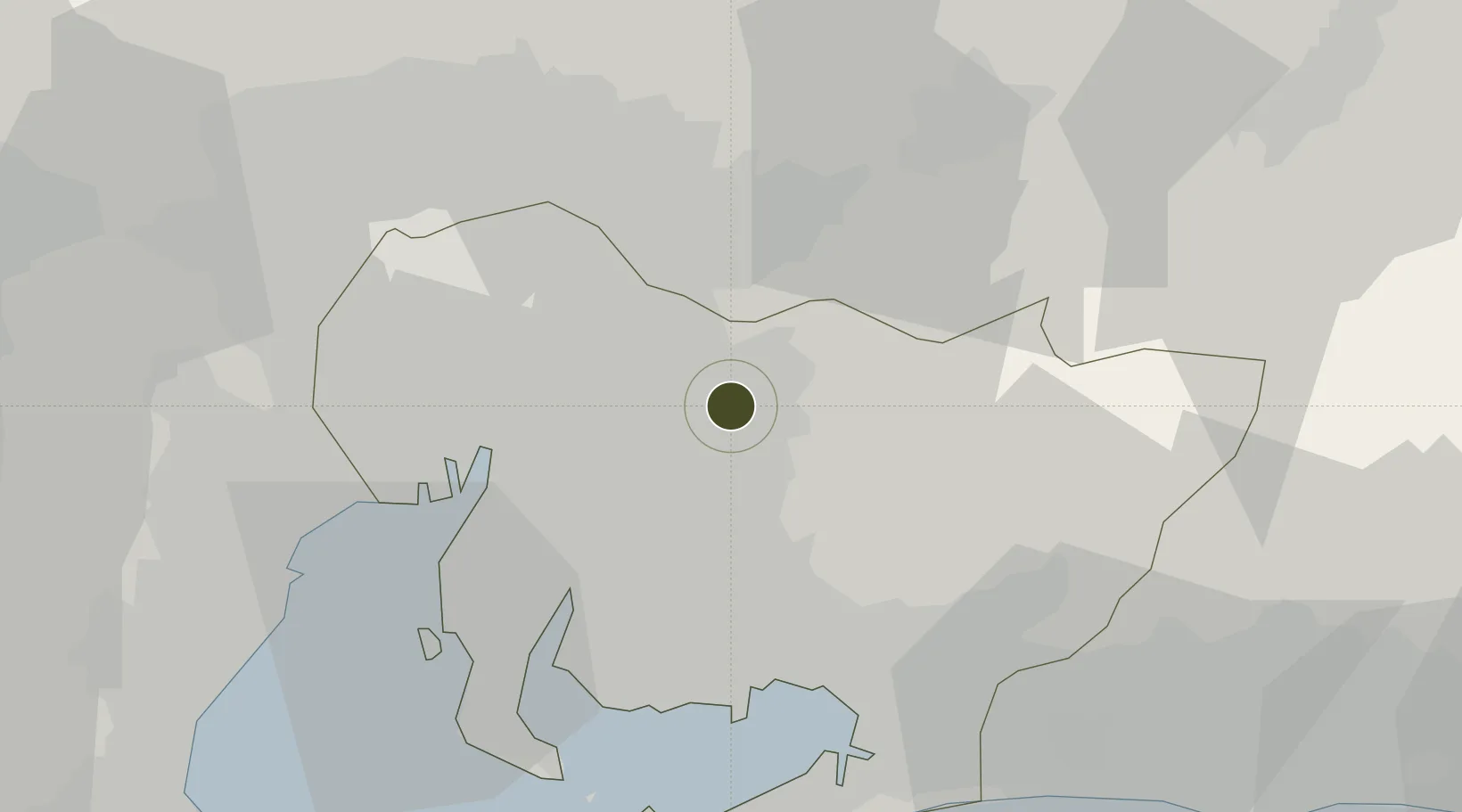
35.1408°, 137.1705°
91,847 ha
Zone area
28.8 km
Nearest port
25.8 km
Nearest airport

Gateway access

Nearest neighbours — logibook spatial index (haversine) over the source coordinates

Zone profile

Zone type
Specialized Zone
Open Zone Map
Specialization
Tech
Open Zone Map
Region
Aichi
Open Zone Map
Status
Inactive
Open Zone Map
Management
Public-Private Partnership
Open Zone Map
Operator
Toyota City Government
Open Zone Map
Legal framework
No. 7 Toyota City General Plan 2008 to 2017
Open Zone Map

Location

Location of ozm-2609
Natural Earth 10m (public domain) · Aichi · ozm-2609 · 35.14, 137.17GoogleOSMYandex

Nearby Logistics Neighbours

Ports
  1. 1Nagoya Ko29 km
  2. 2Gamagori Ko36 km
  3. 3Kinuura Ko38 km
  4. 4Mikawa49 km
  5. 5Yokkaichi53 km
Nearest neighbours — logibook spatial index (haversine) over the source coordinates
Airports
  1. 1Nagoya Airport / JASDF Komaki Air Base26 km
  2. 2Gifu Airport39 km
  3. 3Chubu Centrair International Airport46 km
  4. 4JASDF Hamamatsu Air Base65 km
  5. 5Mount Fuji Shizuoka Airport101 km
Nearest neighbours — logibook spatial index (haversine) over the source coordinates
Cities
  1. 1Toyota6 km
  2. 2Nisshin13 km
  3. 3Nagakute, Aichi13 km
  4. 4Owariasahi14 km
  5. 5Chiryu19 km
Nearest neighbours — logibook spatial index (haversine) over the source coordinates
DatabookThe Record of Consolidated Knowledge
Japan beyond logistics?
Browse databook

All Sources

Trade ZonesOpen Zone Map
CC BY
Portsthe NGA World Port Index
Public domain (US gov)
AirportsOurAirports
Public domain
LocationsUN/LOCODE
UN/LOCODE — free
← Japan trade zones