Seaport · Japan
Tsuruga KoJPTRG
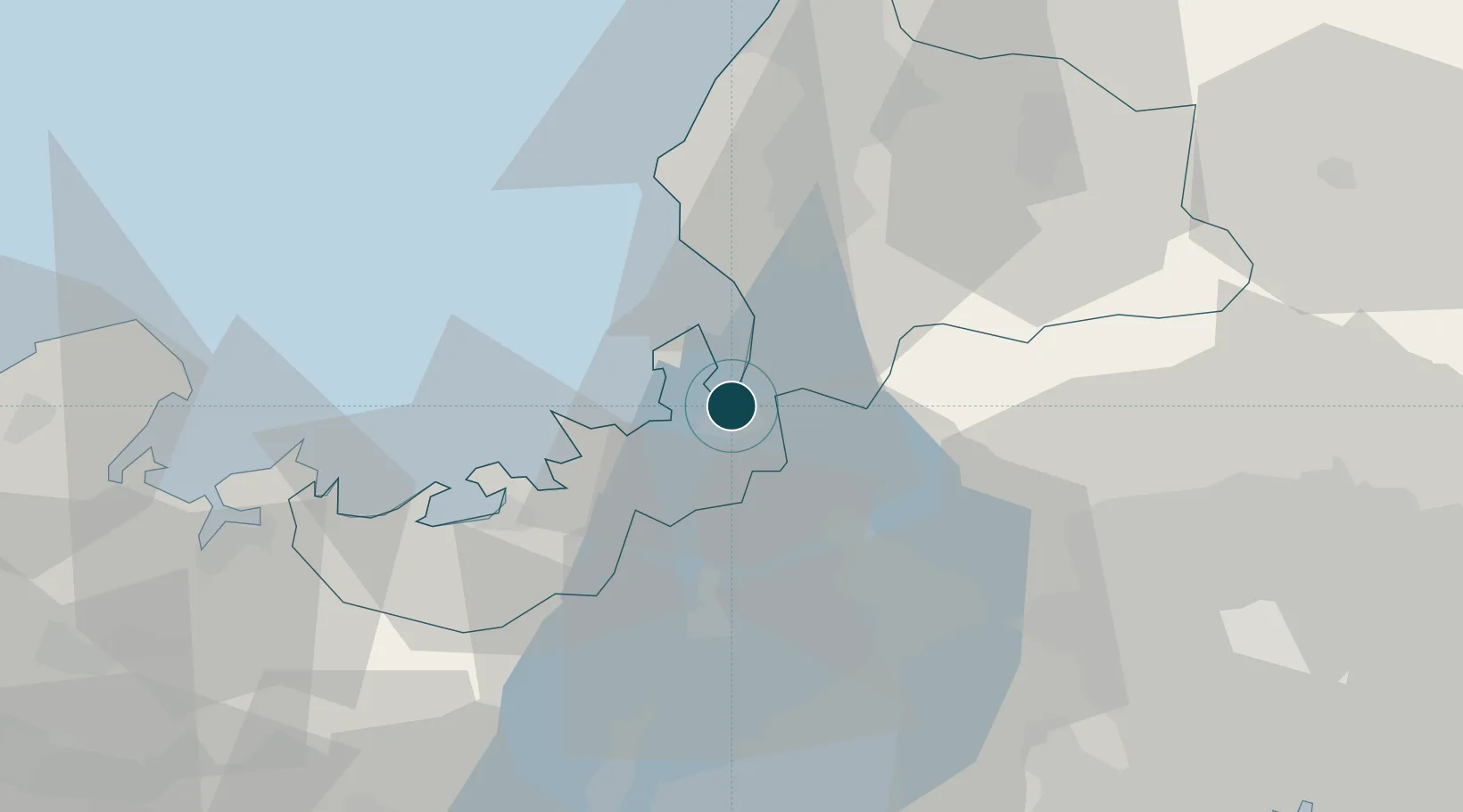
35.6500°, 136.0667°
15.0 m
Channel depth
2
Container terminals
27.3
Port liner connectivity
Channel & Berth Profile
Pilotage, Tugs & Services
Pilotage compulsoryNO
Pilotage availableYES
Pilotage advisableYES
Tug assistanceYES
Potable waterYES
Diesel bunkersYES
MedicalYES
Facilities & Capabilities
Container—
Ro-Ro—
Liquid bulk—
Dry bulk—
Oil terminal—
Break bulk—
Dry dockNO
RepairsNO
BunkeringYES
Rail linkYES
Dangerous cargo—
ISPS security—
Harbour Specifications
Harbour size
Small
Harbour type
Coastal (Breakwater)
Shelter
Good
Water body
Sea of Japan; North Pacific Ocean
Pilotage
No
Liner Connectivity
27.3
PLSCI
Port Liner Shipping Connectivity Index for Tsuruga Ko, as published by UNCTAD for the latest available quarter. Higher values indicate stronger scheduled liner-shipping integration.
Shown relative to the highest per-port PLSCI in the dataset (1,657.9).
Location
Container Terminals · 2
TSURUGA KAWASAKI TERMINAL
TKAT TSURUGA PORT AUTHORITY
TSURUGA MARIYAMA MINAMI CONTAINER TERMINAL
TMIT TSURUGA PORT INTERNATIONAL TERMINAL CO., LTD.
Nearby Logistics Neighbours
Ports
- 1Fukui48 km
- 2Uchiura53 km
- 3Maizuru Ko68 km
- 4Miyazu79 km
- 5Yokkaichi92 km
Cities
- 1Wakasa Fukui30 km
- 2Sabae Fukui35 km
- 3Takashima41 km
- 4Maibara42 km
- 5Ibiwaga49 km
Airports
Trade Zones
DatabookThe Record of Consolidated Knowledge
Japan beyond logistics?