Transport Functions
Multimodal
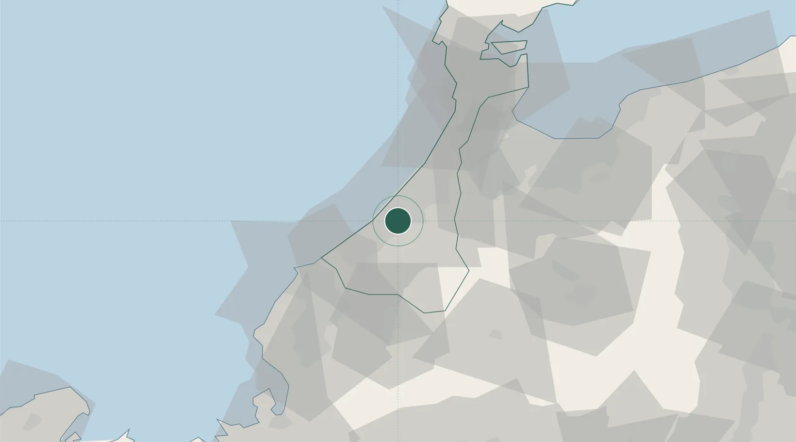
Hub Profile
Place type
Provincial seat
Region
Ishikawa
Time zone
Asia/Tokyo
Elevation
70 m
Location
Nearby Logistics Neighbours
Cities
- 1Ataka11 km
- 2Kanazawa21 km
- 3Kaga24 km
- 4Tsubata, Ishikawa32 km
- 5Awara35 km
Ports
- 1Kanazawa21 km
- 2Fukui51 km
- 3Fushiki-Toyama65 km
- 4Nanao Ko79 km
- 5Tsuruga Ko97 km
Airports
- 1Komatsu Airport / JASDF Komatsu Air Base12 km
- 2Fukui Airport43 km
- 3Toyama Kitokito Airport63 km
- 4Noto Satoyama Airport103 km
- 5Gifu Airport120 km
Trade Zones
DatabookThe Record of Consolidated Knowledge
Japan beyond logistics?