Transport Functions
Multimodal
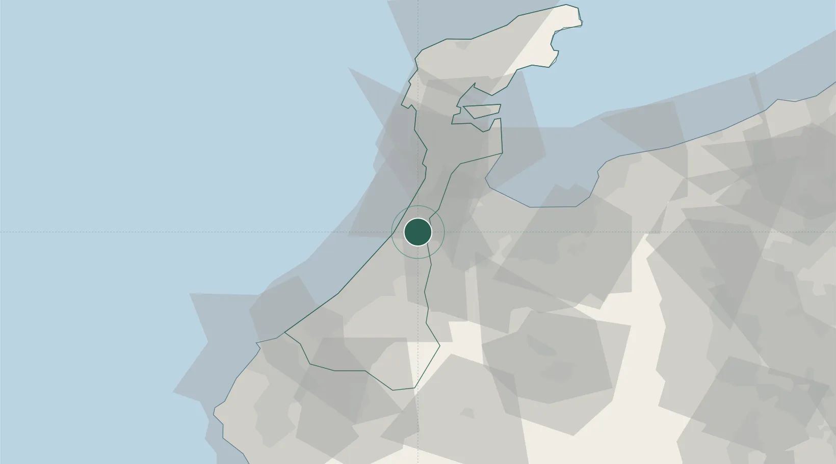
Hub Profile
Region
17
Location
Nearby Logistics Neighbours
Ports
- 1Kanazawa13 km
- 2Fushiki-Toyama37 km
- 3Nanao Ko48 km
- 4Fukui82 km
- 5Himekawa107 km
Airports
- 1Toyama Kitokito Airport41 km
- 2Komatsu Airport / JASDF Komatsu Air Base42 km
- 3Noto Satoyama Airport73 km
- 4Fukui Airport74 km
- 5Shinshu-Matsumoto Airport120 km
Trade Zones
DatabookThe Record of Consolidated Knowledge
Japan beyond logistics?