Transport Functions
Road
Multimodal
Hub Profile
Place type
Provincial seat
Region
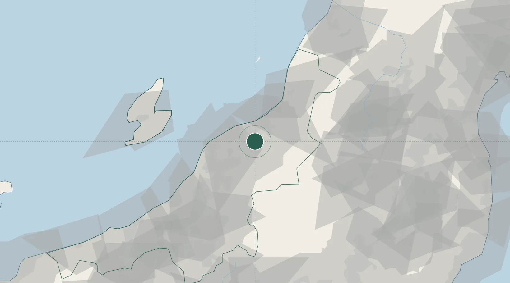
Niigata
Population
40,696
Time zone
Asia/Tokyo
Elevation
7 m
Location
Nearby Logistics Neighbours
Cities
- 1Aga Niigata0 km
- 2Gosen12 km
- 3Niigata15 km
- 4Tsubame32 km
- 5Yahiko37 km
Ports
- 1Niigata Ko17 km
- 2Eastern Part Of Niigata-Ko20 km
- 3Ryotu Ko63 km
- 4Kashiwazaki78 km
- 5Naoetsu Ko112 km
Airports
- 1Niigata Airport16 km
- 2Sado Airport75 km
- 3Shonai Airport120 km
- 4Yamagata Airport120 km
- 5Fukushima Airport127 km
DatabookThe Record of Consolidated Knowledge
Japan beyond logistics?