Transport Functions
Port
Hub Profile
Place type
Provincial seat
Region
Niigata
Population
77,382
Time zone
Asia/Tokyo
Elevation
8 m
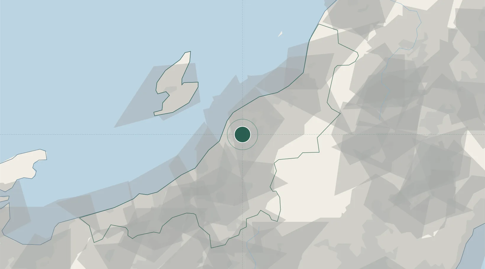
Location
Nearby Logistics Neighbours
Cities
- 1Yahiko10 km
- 2Gosen23 km
- 3Agano32 km
- 4Aga Niigata32 km
- 5Ojiya39 km
Ports
- 1Niigata Ko31 km
- 2Kashiwazaki46 km
- 3Eastern Part Of Niigata-Ko49 km
- 4Ryotu Ko58 km
- 5Naoetsu Ko80 km
Airports
- 1Niigata Airport37 km
- 2Sado Airport65 km
- 3Fukushima Airport140 km
- 4Shonai Airport149 km
- 5Utsunomiya Airport151 km
Trade Zones
- 1Niigata City Strategic Special Zone31 km
- 2Nagaoka Independent Local Community Creation Special Zone37 km
- 3Gunma Environmentally Friendly Livestock Promotion Special Zone109 km
- 4Gunma Cancer Treatment Technology Regional Revitalization Comprehensive Special Zone136 km
- 5Special Recycling Resources Zone for Rare Metals180 km
DatabookThe Record of Consolidated Knowledge
Japan beyond logistics?