Transport Functions
Rail
Road
Postal
Hub Profile
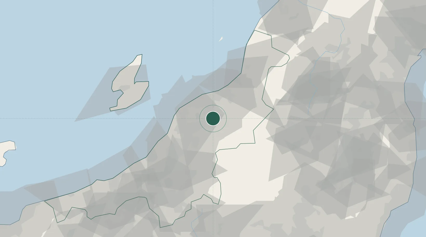
Place type
Provincial seat
Region
Niigata
Population
48,458
Time zone
Asia/Tokyo
Elevation
9 m
Location
Nearby Logistics Neighbours
Cities
- 1Agano12 km
- 2Aga Niigata12 km
- 3Tsubame23 km
- 4Niigata27 km
- 5Yahiko30 km
Ports
- 1Niigata Ko23 km
- 2Eastern Part Of Niigata-Ko32 km
- 3Ryotu Ko66 km
- 4Kashiwazaki68 km
- 5Naoetsu Ko101 km
Airports
- 1Niigata Airport25 km
- 2Sado Airport75 km
- 3Fukushima Airport125 km
- 4Yamagata Airport130 km
- 5Shonai Airport132 km
Trade Zones
- 1Niigata City Strategic Special Zone23 km
- 2Nagaoka Independent Local Community Creation Special Zone59 km
- 3Gunma Environmentally Friendly Livestock Promotion Special Zone120 km
- 4Gunma Cancer Treatment Technology Regional Revitalization Comprehensive Special Zone145 km
- 5Special Recycling Resources Zone for Rare Metals157 km
DatabookThe Record of Consolidated Knowledge
Japan beyond logistics?