Transport Functions
Multimodal
Hub Profile
Place type
Populated place
Region
Niigata
Population
7,705
Time zone
Asia/Tokyo
Elevation
17 m
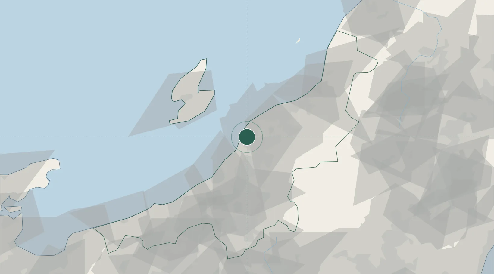
Location
Nearby Logistics Neighbours
Cities
- 1Tsubame10 km
- 2Gosen30 km
- 3Agano37 km
- 4Aga Niigata37 km
- 5Ojiya43 km
Ports
- 1Niigata Ko31 km
- 2Kashiwazaki45 km
- 3Ryotu Ko49 km
- 4Eastern Part Of Niigata-Ko50 km
- 5Naoetsu Ko77 km
Airports
- 1Niigata Airport37 km
- 2Sado Airport54 km
- 3Shonai Airport149 km
- 4Fukushima Airport151 km
- 5Yamagata Airport156 km
Trade Zones
- 1Niigata City Strategic Special Zone30 km
- 2Nagaoka Independent Local Community Creation Special Zone35 km
- 3Gunma Environmentally Friendly Livestock Promotion Special Zone115 km
- 4Gunma Cancer Treatment Technology Regional Revitalization Comprehensive Special Zone142 km
- 5Toyama Community-based Welfare Promotion Special Zone184 km
DatabookThe Record of Consolidated Knowledge
Japan beyond logistics?