UN/LOCODE hub · Japan
JPKIJ
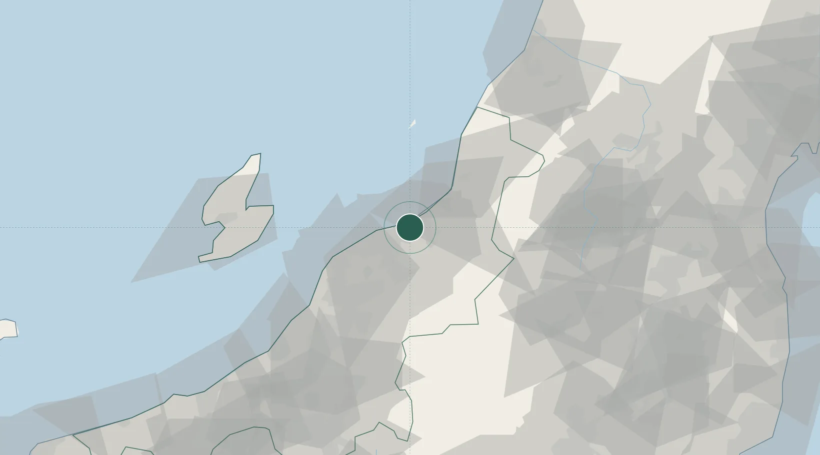
Niigata
37.9683°, 139.2274°
797,591
Population
1
Transport functions
1
Container terminals
Transport Functions
Port
Hub Profile
Place type
Regional capital
Region
Niigata
Population
797,591
Time zone
Asia/Tokyo
Elevation
1 m
Logistics facilities
4
Container terminals
1
Location
Nearby Logistics Neighbours
Cities
- 1Agano15 km
- 2Aga Niigata15 km
- 3Gosen27 km
- 4Murakami37 km
- 5Tsubame44 km
Ports
- 1Eastern Part Of Niigata-Ko5 km
- 2Ryotu Ko59 km
- 3Kashiwazaki90 km
- 4Sakata Ko119 km
- 5Naoetsu Ko123 km
Airports
- 1Niigata Airport10 km
- 2Sado Airport72 km
- 3Shonai Airport106 km
- 4Yamagata Airport112 km
- 5Fukushima Airport134 km
DatabookThe Record of Consolidated Knowledge
Japan beyond logistics?