Seaport · Japan
Iwakuni KoJPIWK
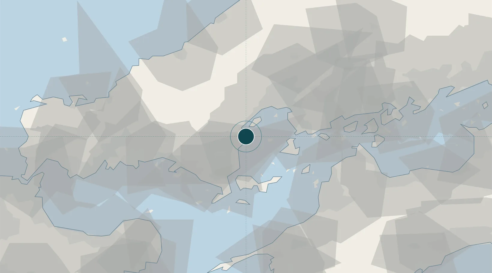
34.1833°, 132.2500°
21.6 m
Channel depth
1
Container terminals
40.4
Port liner connectivity
Channel & Berth Profile
Pilotage, Tugs & Services
Pilotage compulsoryNO
Pilotage availableYES
Pilotage advisableYES
Tug assistanceYES
Salvage tugsYES
Potable waterYES
Diesel bunkersYES
MedicalYES
Facilities & Capabilities
Container—
Ro-Ro—
Liquid bulk—
Dry bulk—
Oil terminal—
Break bulk—
Dry dock—
RepairsNO
BunkeringYES
Rail linkYES
Dangerous cargo—
ISPS security—
Harbour Specifications
Harbour size
Medium
Harbour type
Open Roadstead
Shelter
Good
Water body
Sea of Japan; North Pacific Ocean
Tidal range
3 m
Pilotage
No
Liner Connectivity
40.4
PLSCI
Port Liner Shipping Connectivity Index for Iwakuni Ko, as published by UNCTAD for the latest available quarter. Higher values indicate stronger scheduled liner-shipping integration.
Shown relative to the highest per-port PLSCI in the dataset (1,657.9).
Location
Container Terminals · 1
IWAKUNI SHINMINATO SOUTH BERTH
SI10C IWAKUNI PORT AUTHORITY
Nearby Logistics Neighbours
Ports
- 1Kanokawa Ko17 km
- 2Mitsukojima25 km
- 3Hiroshima27 km
- 4Yanai28 km
- 5Kure28 km
Cities
- 1Otake4 km
- 2Tsuzu Yamaguchi16 km
- 3Hiroshima29 km
- 4Aki-gun/Hiroshima31 km
- 5Tokuyama45 km
Airports
- 1Iwakuni Kintaikyo Airport4 km
- 2Matsuyama Airport57 km
- 3JASDF Hofu Airfield67 km
- 4Hiroshima Airport68 km
- 5Iwami Airport69 km
Trade Zones
- 1Hiroshima Prefecture Imabari City National Strategic Special Zone29 km
- 2Yamaguchi Next-Generation Agricultural Production Structure Establishment Special Zone38 km
- 3Morisato Kairenkan Takatsu River Basin Hometown Concept Special Zone69 km
- 4Onomichi Regional Medical Cooperation Promotion Special Zone76 km
- 5Saijō Agricultural Innovation City General Special Zone89 km
DatabookThe Record of Consolidated Knowledge
Japan beyond logistics?