Economic Revitalization Project · Japan
Morisato Kairenkan Takatsu River Basin Hometown Concept Special Zone Active
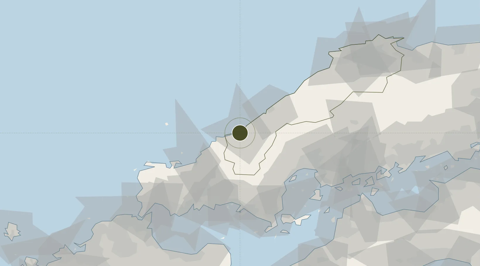
34.6937°, 131.8171°
137,654 ha
Zone area
33.4 km
Nearest port
3.1 km
Nearest airport
Gateway access
Zone profile
Zone type
Economic Revitalization Project
Region
Shimane
Status
Active
Management
Public
Operator
Shimane Prefecture Government
Legal framework
Shimane Prefecture Regional Activation Policy
Location
Nearby Logistics Neighbours
Ports
- 1Hamada Ko33 km
- 2Hagi Ko49 km
- 3Iwakuni Ko69 km
- 4Hiroshima71 km
- 5Tokuyama73 km
Airports
- 1Iwami Airport3 km
- 2Iwakuni Kintaikyo Airport73 km
- 3JASDF Hofu Airfield77 km
- 4Yamaguchi Ube Airport98 km
- 5Hiroshima Airport105 km
Trade Zones
- 1Hiroshima Prefecture Imabari City National Strategic Special Zone68 km
- 2Yamaguchi Next-Generation Agricultural Production Structure Establishment Special Zone82 km
- 3Onomichi Regional Medical Cooperation Promotion Special Zone116 km
- 4Tatara Satoyama Regeneration Special Zone120 km
- 5Hiroshima Environmental Tourism Model Urban Development Promotion Special Zone139 km
DatabookThe Record of Consolidated Knowledge
Japan beyond logistics?