UN/LOCODE hub · Japan
JPTKY
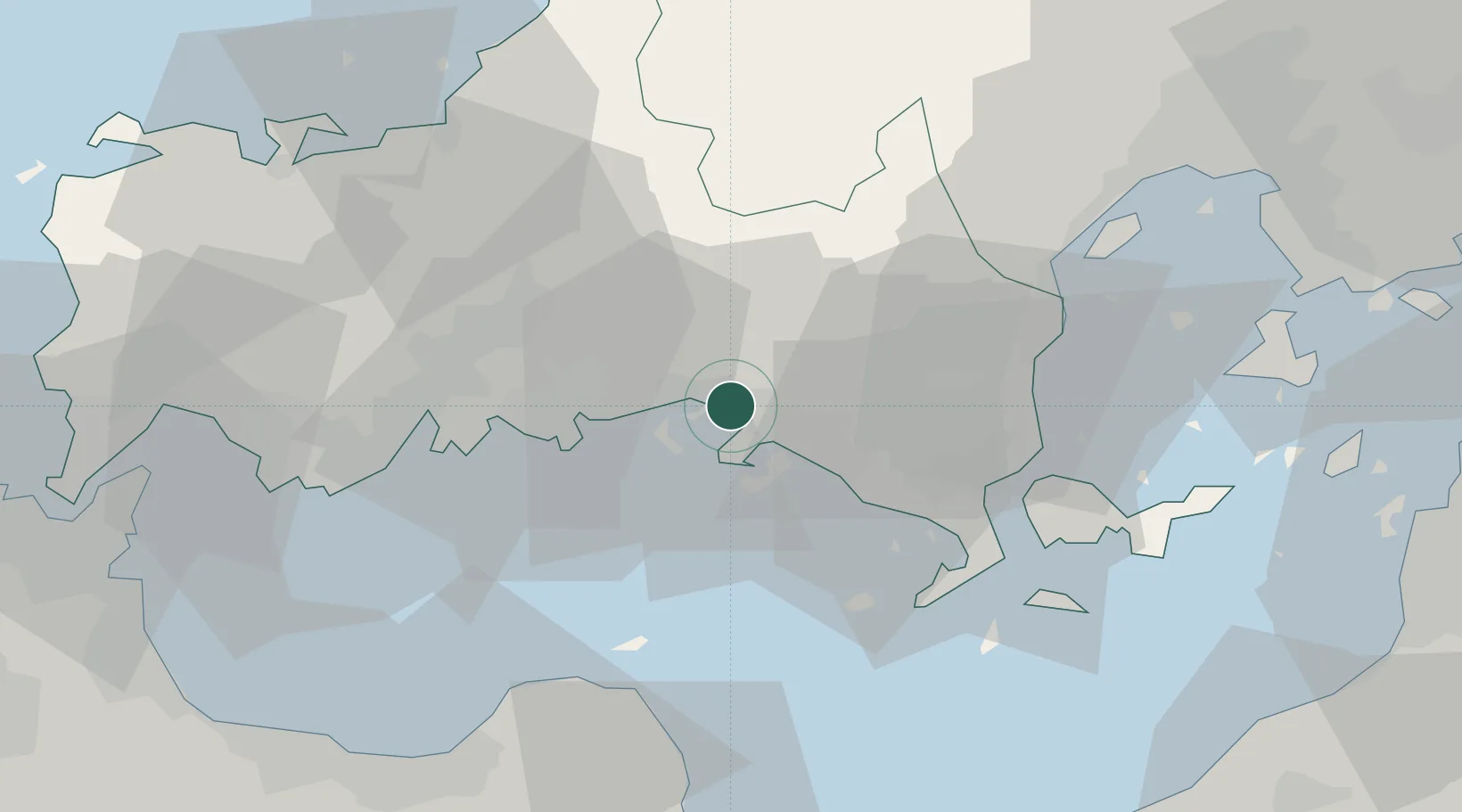
Tokuyama
34.0455°, 131.7952°
101,133
Population
1
Transport functions
1
Container terminals
Transport Functions
Port
Hub Profile
Place type
Populated place
Region
Yamaguchi
Population
101,133
Time zone
Asia/Tokyo
Elevation
35 m
Logistics facilities
7
Container terminals
1
Location
Nearby Logistics Neighbours
Cities
- 1Tokuyamakudamatsu6 km
- 2Mitajiri20 km
- 3Hofu22 km
- 4Nakanoseki23 km
- 5Tsuzu Yamaguchi37 km
Ports
- 1Tonda4 km
- 2Kudamatsu8 km
- 3Hikari17 km
- 4Yanai33 km
- 5Iwakuni Ko45 km
Airports
- 1JASDF Hofu Airfield23 km
- 2Iwakuni Kintaikyo Airport43 km
- 3Yamaguchi Ube Airport49 km
- 4Oita Airport63 km
- 5Iwami Airport70 km
Trade Zones
- 1Yamaguchi Next-Generation Agricultural Production Structure Establishment Special Zone17 km
- 2Hiroshima Prefecture Imabari City National Strategic Special Zone71 km
- 3Morisato Kairenkan Takatsu River Basin Hometown Concept Special Zone72 km
- 4Onomichi Regional Medical Cooperation Promotion Special Zone121 km
- 5Saijō Agricultural Innovation City General Special Zone127 km
DatabookThe Record of Consolidated Knowledge
Japan beyond logistics?