Transport Functions
Port
Hub Profile
Region
34
Location
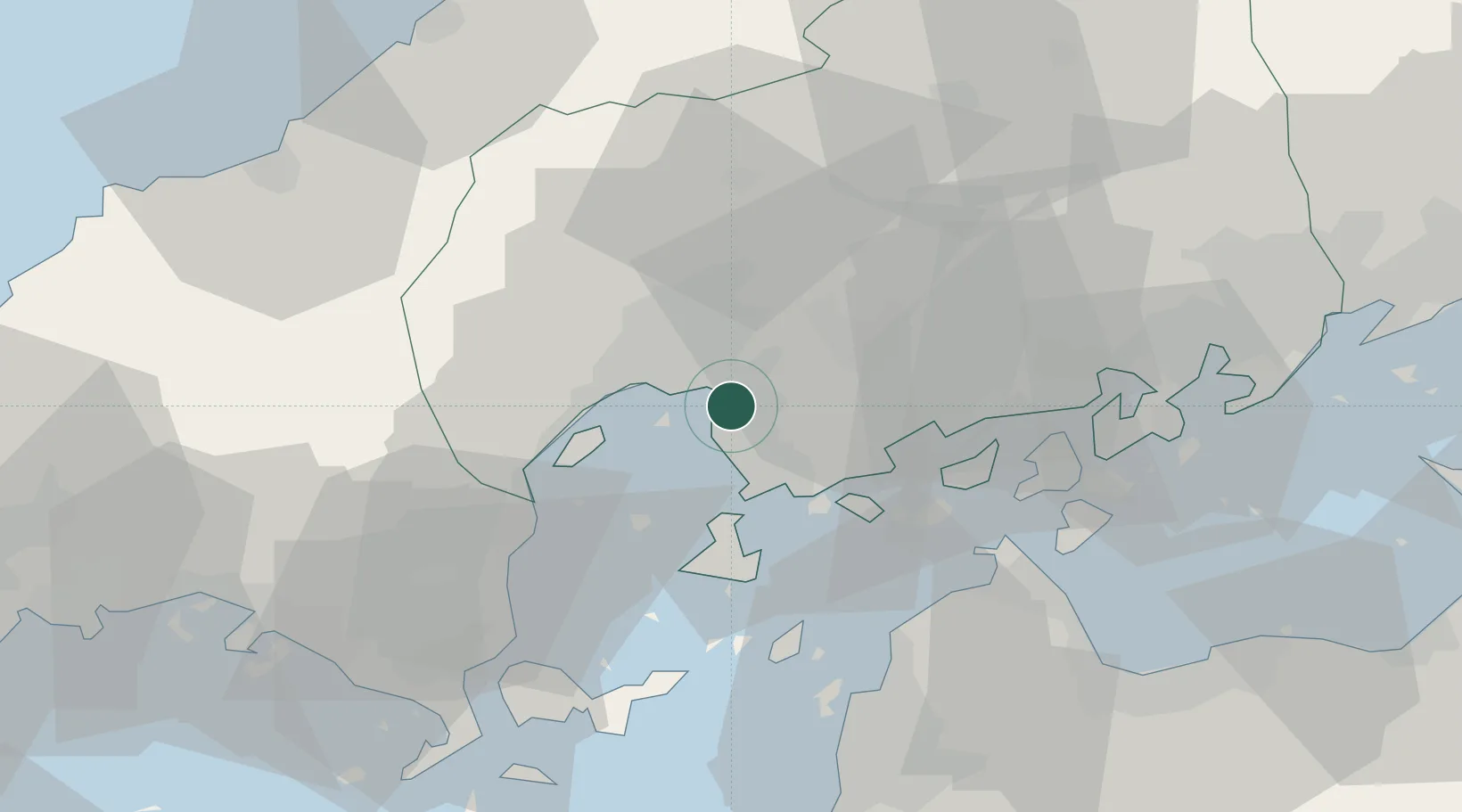
Nearby Logistics Neighbours
Cities
- 1Hiroshima4 km
- 2Otake30 km
- 3Iwakuni32 km
- 4Tsuzu Yamaguchi44 km
- 5Yoshiumi51 km
Ports
- 1Hiroshima6 km
- 2Kure11 km
- 3Mitsukojima17 km
- 4Kanokawa Ko19 km
- 5Iwakuni Ko31 km
Airports
- 1Iwakuni Kintaikyo Airport34 km
- 2Hiroshima Airport37 km
- 3Matsuyama Airport58 km
- 4Iwami Airport78 km
- 5JASDF Hofu Airfield97 km
Trade Zones
- 1Hiroshima Prefecture Imabari City National Strategic Special Zone9 km
- 2Onomichi Regional Medical Cooperation Promotion Special Zone47 km
- 3Yamaguchi Next-Generation Agricultural Production Structure Establishment Special Zone68 km
- 4Hiroshima Environmental Tourism Model Urban Development Promotion Special Zone72 km
- 5Saijō Agricultural Innovation City General Special Zone73 km
DatabookThe Record of Consolidated Knowledge
Japan beyond logistics?