UN/LOCODE hub · Japan
JPHIJ
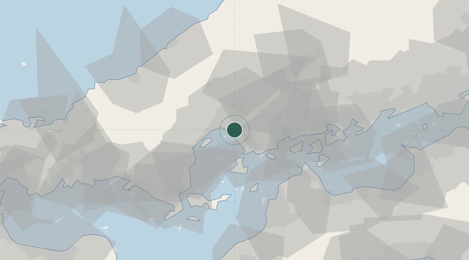
Hiroshima
34.3526°, 132.4912°
1,200,754
Population
2
Transport functions
2
Container terminals
Transport Functions
Port
Airport
Hub Profile
Place type
Regional capital
Region
Hiroshima
Population
1,200,754
Time zone
Asia/Tokyo
Elevation
16 m
Logistics facilities
8
Container terminals
2
Location
Nearby Logistics Neighbours
Cities
- 1Aki-gun/Hiroshima4 km
- 2Otake27 km
- 3Iwakuni30 km
- 4Tsuzu Yamaguchi43 km
- 5Yoshiumi56 km
Ports
- 1Kure14 km
- 2Mitsukojima19 km
- 3Kanokawa Ko20 km
- 4Iwakuni Ko29 km
- 5Namikata46 km
Airports
- 1Iwakuni Kintaikyo Airport32 km
- 2Hiroshima Airport40 km
- 3Matsuyama Airport62 km
- 4Iwami Airport74 km
- 5JASDF Hofu Airfield94 km
Trade Zones
- 1Hiroshima Prefecture Imabari City National Strategic Special Zone5 km
- 2Onomichi Regional Medical Cooperation Promotion Special Zone50 km
- 3Yamaguchi Next-Generation Agricultural Production Structure Establishment Special Zone67 km
- 4Morisato Kairenkan Takatsu River Basin Hometown Concept Special Zone73 km
- 5Hiroshima Environmental Tourism Model Urban Development Promotion Special Zone76 km
DatabookThe Record of Consolidated Knowledge
Japan beyond logistics?