Channel & Berth Profile
Pilotage, Tugs & Services
Pilotage compulsoryNO
Pilotage availableYES
Pilotage advisableYES
Tug assistanceYES
Salvage tugsNO
Shore powerYES
Potable waterYES
Diesel bunkersYES
MedicalYES
Garbage disposalYES
Facilities & Capabilities
Container—
Ro-Ro—
Liquid bulk—
Dry bulk—
Oil terminal—
Break bulk—
Dry dockNO
RepairsNO
BunkeringYES
Rail linkYES
Dangerous cargo—
ISPS security—
Harbour Specifications
Harbour size
Medium
Harbour type
Coastal (Natural)
Shelter
Good
Water body
Sea of Japan; North Pacific Ocean
Tidal range
4 m
Overhead limit
No
Pilotage
No
Liner Connectivity
11.2
PLSCI
Port Liner Shipping Connectivity Index for Kure, as published by UNCTAD for the latest available quarter. Higher values indicate stronger scheduled liner-shipping integration.
Shown relative to the highest per-port PLSCI in the dataset (1,657.9).
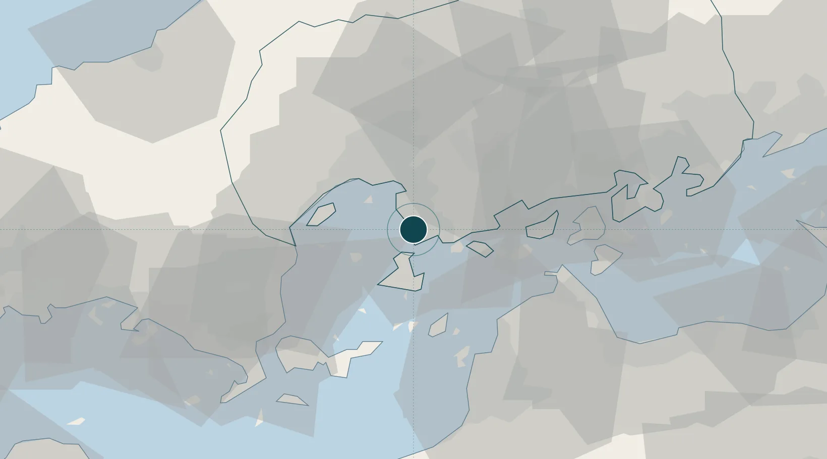
Location
Nearby Logistics Neighbours
Ports
- 1Mitsukojima6 km
- 2Kanokawa Ko12 km
- 3Hiroshima15 km
- 4Iwakuni Ko28 km
- 5Kikuma Ko34 km
Cities
- 1Aki-gun/Hiroshima11 km
- 2Hiroshima14 km
- 3Otake28 km
- 4Iwakuni29 km
- 5Tsuzu Yamaguchi38 km
Airports
- 1Iwakuni Kintaikyo Airport30 km
- 2Hiroshima Airport41 km
- 3Matsuyama Airport47 km
- 4Iwami Airport85 km
- 5JASDF Hofu Airfield95 km
Trade Zones
- 1Hiroshima Prefecture Imabari City National Strategic Special Zone19 km
- 2Onomichi Regional Medical Cooperation Promotion Special Zone49 km
- 3Yamaguchi Next-Generation Agricultural Production Structure Establishment Special Zone64 km
- 4Saijō Agricultural Innovation City General Special Zone66 km
- 5Hiroshima Environmental Tourism Model Urban Development Promotion Special Zone74 km
DatabookThe Record of Consolidated Knowledge
Japan beyond logistics?