Medium airport · Japan
Iwami AirportRJOW
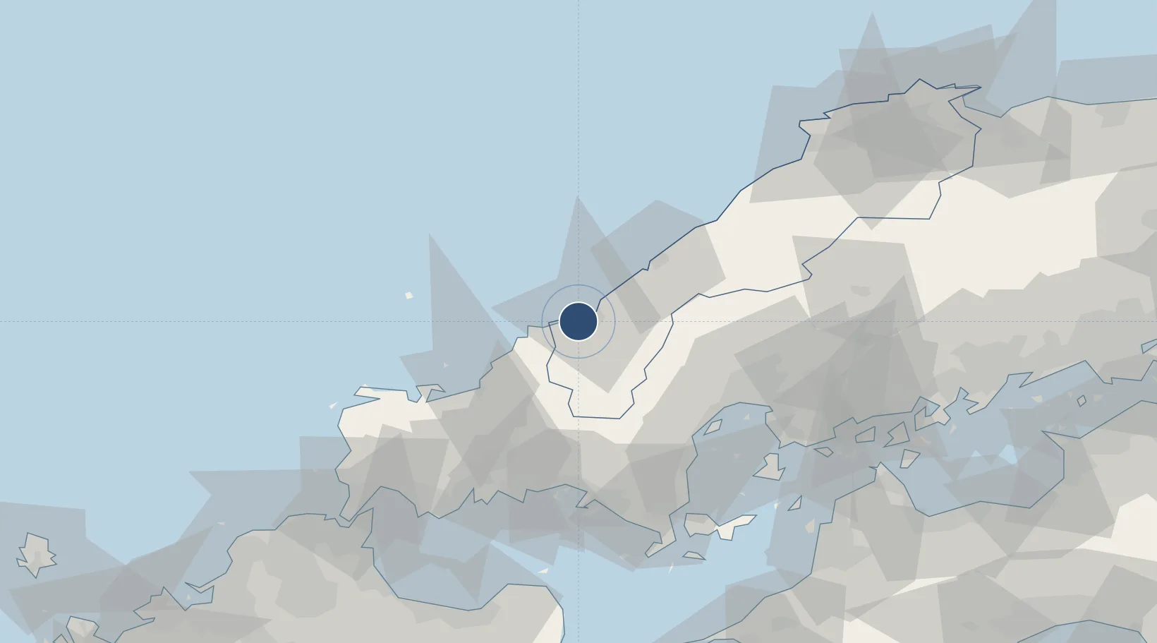
34.6764°, 131.7900°
6,562 ft
Longest runway
1
Runways
184 ft
Elevation
Runway & Layout

Radio Frequencies
RDO
118.55 MHz
Navaids
IME VOR-DME Iwami 115.05 MHz
Runways · 1
| Runway | Dimensions | Surface | True heading | Lit |
|---|---|---|---|---|
| 11/29 | 6,562 × 148ft | Asphalt | 105° | ✓ |
Airport Specifications
IATA code
IWJ
ICAO code
RJOW
Airport class
Medium airport
Scheduled service
Yes
Runway surface
Asphalt
Served city
Masuda
Location
Nearby Logistics Neighbours
Airports
- 1Iwakuni Kintaikyo Airport72 km
- 2JASDF Hofu Airfield75 km
- 3Yamaguchi Ube Airport95 km
- 4Hiroshima Airport107 km
- 5Kitakyushu Airport116 km
Ports
- 1Hamada Ko37 km
- 2Hagi Ko46 km
- 3Iwakuni Ko69 km
- 4Tokuyama72 km
- 5Tonda72 km
Trade Zones
- 1Morisato Kairenkan Takatsu River Basin Hometown Concept Special Zone3 km
- 2Hiroshima Prefecture Imabari City National Strategic Special Zone69 km
- 3Yamaguchi Next-Generation Agricultural Production Structure Establishment Special Zone81 km
- 4Onomichi Regional Medical Cooperation Promotion Special Zone118 km
- 5Tatara Satoyama Regeneration Special Zone123 km
DatabookThe Record of Consolidated Knowledge
Japan beyond logistics?