UN/LOCODE hub · Japan
JPOTK
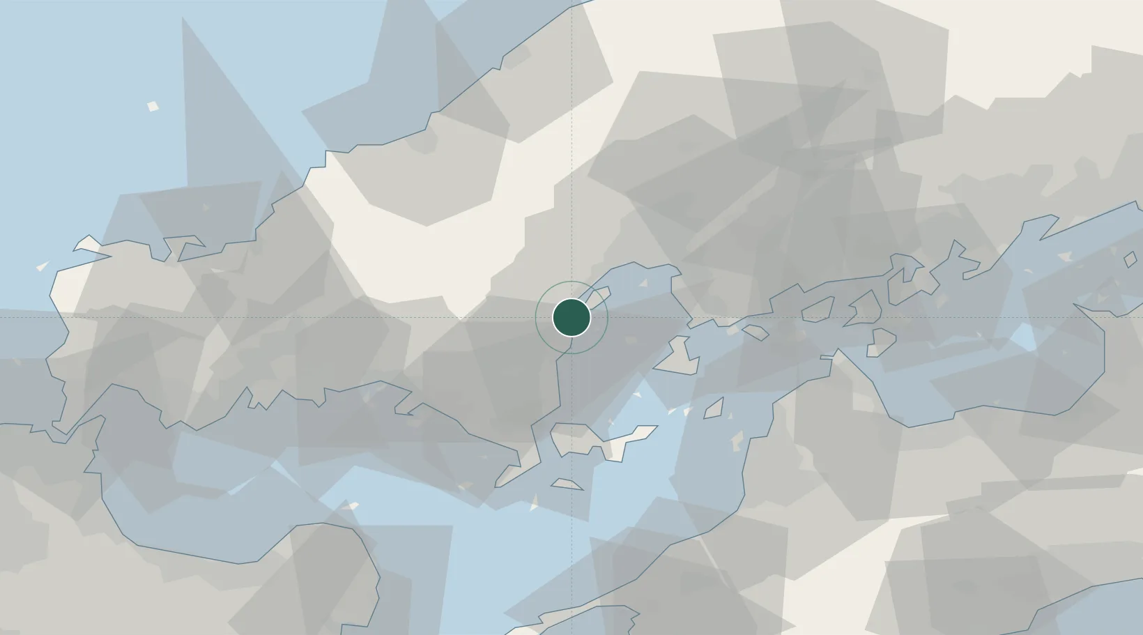
Otake
34.2219°, 132.2424°
30,151
Population
1
Transport functions
1
Container terminals
Transport Functions
Port
Hub Profile
Place type
Provincial seat
Region
Hiroshima
Population
30,151
Time zone
Asia/Tokyo
Elevation
72 m
Logistics facilities
2
Container terminals
1
Location
Nearby Logistics Neighbours
Cities
- 1Iwakuni4 km
- 2Tsuzu Yamaguchi20 km
- 3Hiroshima27 km
- 4Aki-gun/Hiroshima30 km
- 5Tokuyama46 km
Ports
- 1Iwakuni Ko4 km
- 2Kanokawa Ko18 km
- 3Hiroshima25 km
- 4Mitsukojima26 km
- 5Kure28 km
Airports
- 1Iwakuni Kintaikyo Airport8 km
- 2Matsuyama Airport61 km
- 3Iwami Airport65 km
- 4Hiroshima Airport67 km
- 5JASDF Hofu Airfield67 km
Trade Zones
- 1Hiroshima Prefecture Imabari City National Strategic Special Zone27 km
- 2Yamaguchi Next-Generation Agricultural Production Structure Establishment Special Zone40 km
- 3Morisato Kairenkan Takatsu River Basin Hometown Concept Special Zone65 km
- 4Onomichi Regional Medical Cooperation Promotion Special Zone76 km
- 5Saijō Agricultural Innovation City General Special Zone91 km
DatabookThe Record of Consolidated Knowledge
Japan beyond logistics?