Channel & Berth Profile
Pilotage, Tugs & Services
Pilotage compulsoryNO
Pilotage availableYES
Pilotage advisableYES
Tug assistanceYES
Potable waterYES
MedicalYES
Facilities & Capabilities
Container—
Ro-Ro—
Liquid bulk—
Dry bulk—
Oil terminal—
Break bulk—
Dry dockNO
RepairsNO
BunkeringYES
Rail linkYES
Dangerous cargo—
ISPS security—
Harbour Specifications
Harbour size
Large
Harbour type
Coastal (Natural)
Shelter
Good
Water body
Sea of Japan; North Pacific Ocean
Tidal range
3 m
Overhead limit
Yes
Pilotage
No
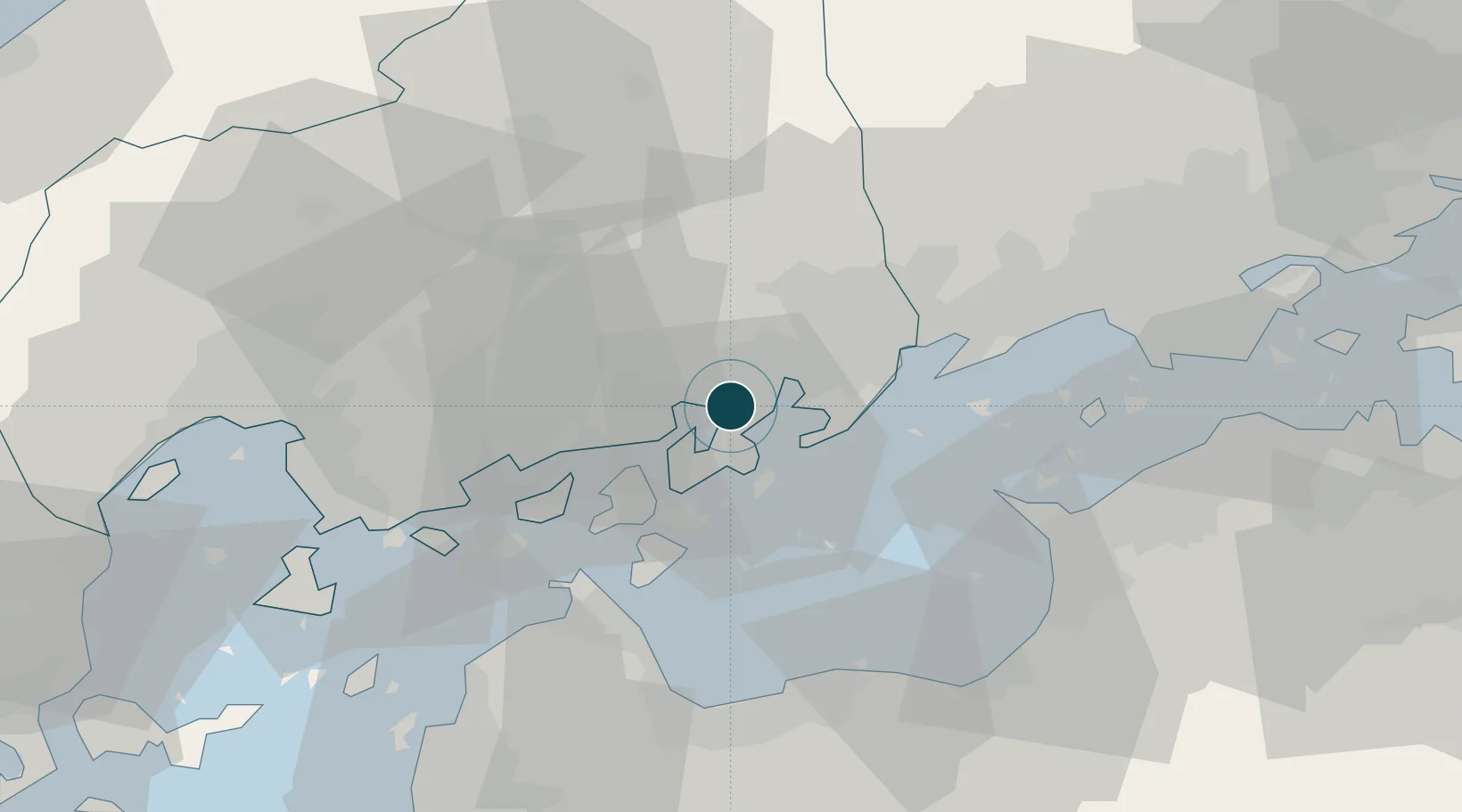
Location
Nearby Logistics Neighbours
Ports
- 1Habu Ko11 km
- 2Fukuyama25 km
- 3Imabari Ko38 km
- 4Namikata39 km
- 5Niihama46 km
Cities
- 1Fukuyama, Hiroshima25 km
- 2Yoshiumi30 km
- 3Imabari39 km
- 4Asakuchi41 km
- 5Niihama47 km
Airports
- 1Hiroshima Airport24 km
- 2Matsuyama Airport75 km
- 3Okayama Momotaro Airport76 km
- 4Takamatsu Airport80 km
- 5Iwakuni Kintaikyo Airport89 km
Trade Zones
- 1Onomichi Regional Medical Cooperation Promotion Special Zone13 km
- 2Hiroshima Environmental Tourism Model Urban Development Promotion Special Zone15 km
- 3Saijō Agricultural Innovation City General Special Zone50 km
- 4Hyper & Green Innovation Mizushima Complex General Special Zone52 km
- 5Kagawa Medical Welfare General Special Zone57 km
DatabookThe Record of Consolidated Knowledge
Japan beyond logistics?