Channel & Berth Profile
Pilotage, Tugs & Services
Pilotage compulsoryYES
Pilotage availableYES
Shore powerYES
Potable waterYES
MedicalYES
Facilities & Capabilities
Container—
Ro-Ro—
Liquid bulk—
Dry bulk—
Oil terminal—
Break bulk—
Dry dockNO
RepairsNO
BunkeringYES
Rail link—
Dangerous cargo—
ISPS security—
Harbour Specifications
Harbour size
Very Small
Harbour type
Coastal (Breakwater)
Shelter
Fair
Water body
Sea of Japan; North Pacific Ocean
Overhead limit
Yes
Pilotage
Yes
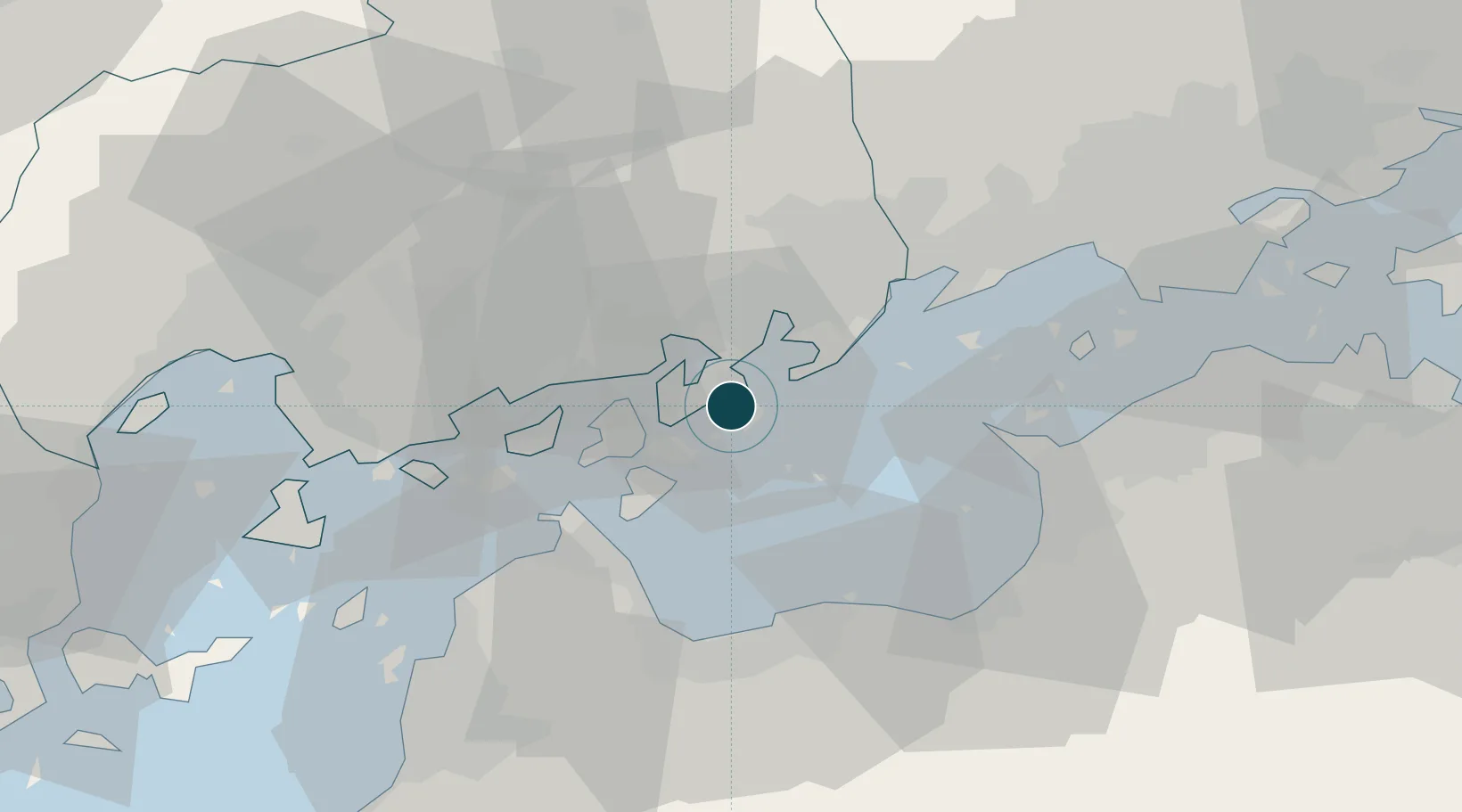
Location
Nearby Logistics Neighbours
Ports
- 1Onomichi-Itozaki11 km
- 2Fukuyama28 km
- 3Imabari Ko29 km
- 4Namikata32 km
- 5Niihama35 km
Cities
- 1Yoshiumi22 km
- 2Fukuyama, Hiroshima29 km
- 3Imabari30 km
- 4Niihama36 km
- 5Toyo42 km
Airports
- 1Hiroshima Airport30 km
- 2Matsuyama Airport68 km
- 3Takamatsu Airport77 km
- 4Okayama Momotaro Airport81 km
- 5Iwakuni Kintaikyo Airport87 km
Trade Zones
- 1Onomichi Regional Medical Cooperation Promotion Special Zone20 km
- 2Hiroshima Environmental Tourism Model Urban Development Promotion Special Zone22 km
- 3Saijō Agricultural Innovation City General Special Zone39 km
- 4Kagawa Medical Welfare General Special Zone55 km
- 5Hyper & Green Innovation Mizushima Complex General Special Zone55 km
DatabookThe Record of Consolidated Knowledge
Japan beyond logistics?