UN/LOCODE hub · Japan
JPIHA
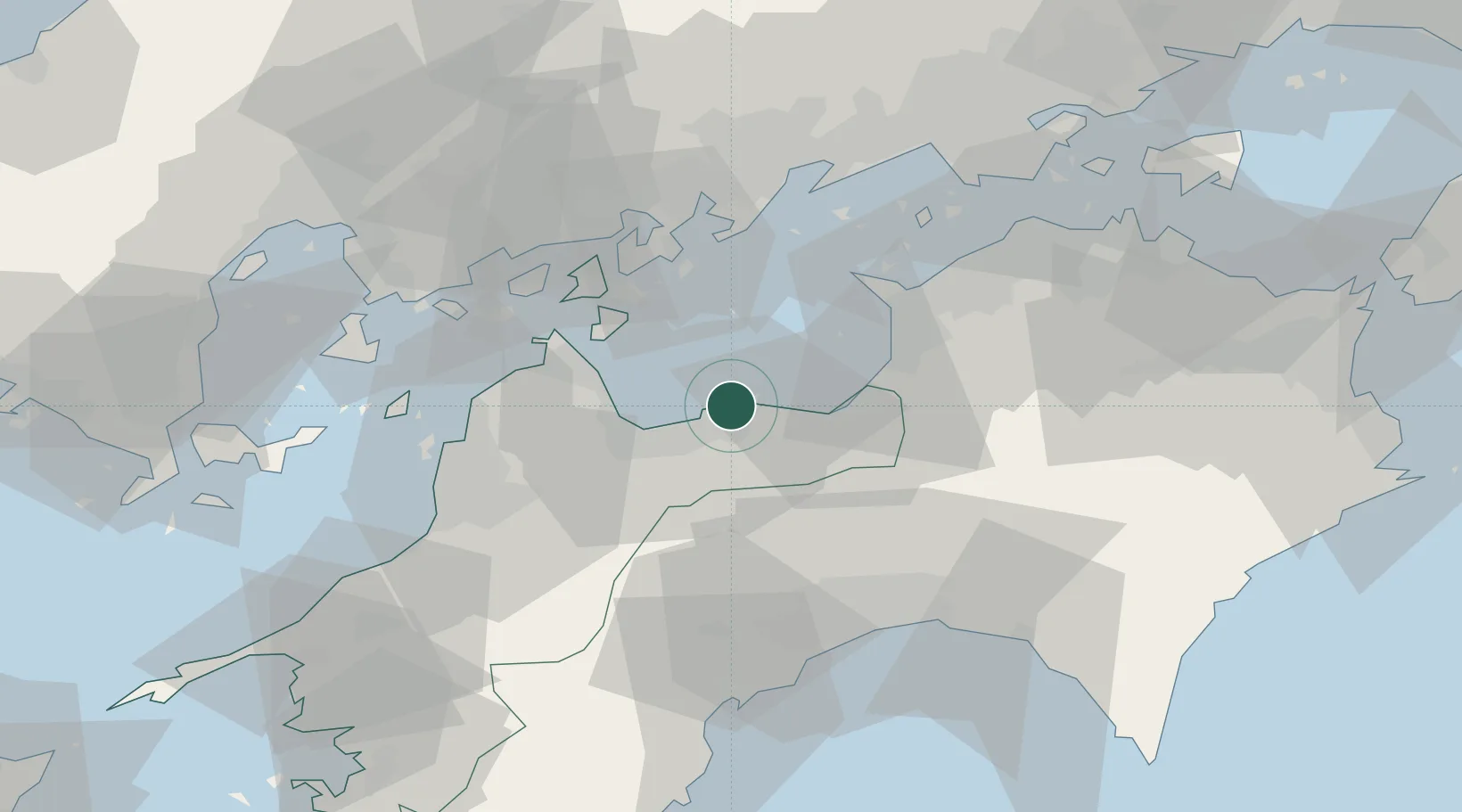
Niihama
33.9817°, 133.3089°
123,059
Population
2
Transport functions
1
Container terminals
Transport Functions
Port
Airport
Hub Profile
Place type
Provincial seat
Region
Ehime
Population
123,059
Time zone
Asia/Tokyo
Elevation
13 m
Logistics facilities
4
Container terminals
1
Location
Nearby Logistics Neighbours
Cities
- 1Iyomishima22 km
- 2Mishima, Kawanoe22 km
- 3Toyo22 km
- 4Shikokuchuo22 km
- 5Imabari27 km
Ports
- 1Mishima-Kawanoe Ko22 km
- 2Imabari Ko29 km
- 3Habu Ko36 km
- 4Namikata41 km
- 5Takuma43 km
Airports
- 1Matsuyama Airport59 km
- 2Kochi Ryoma Airport59 km
- 3Hiroshima Airport62 km
- 4Takamatsu Airport70 km
- 5Iwakuni Kintaikyo Airport100 km
Trade Zones
- 1Saijō Agricultural Innovation City General Special Zone14 km
- 2Hiroshima Environmental Tourism Model Urban Development Promotion Special Zone53 km
- 3Onomichi Regional Medical Cooperation Promotion Special Zone54 km
- 4Kagawa Medical Welfare General Special Zone56 km
- 5Hyper & Green Innovation Mizushima Complex General Special Zone70 km
DatabookThe Record of Consolidated Knowledge
Japan beyond logistics?