Seaport · Japan
NiihamaJPIHA
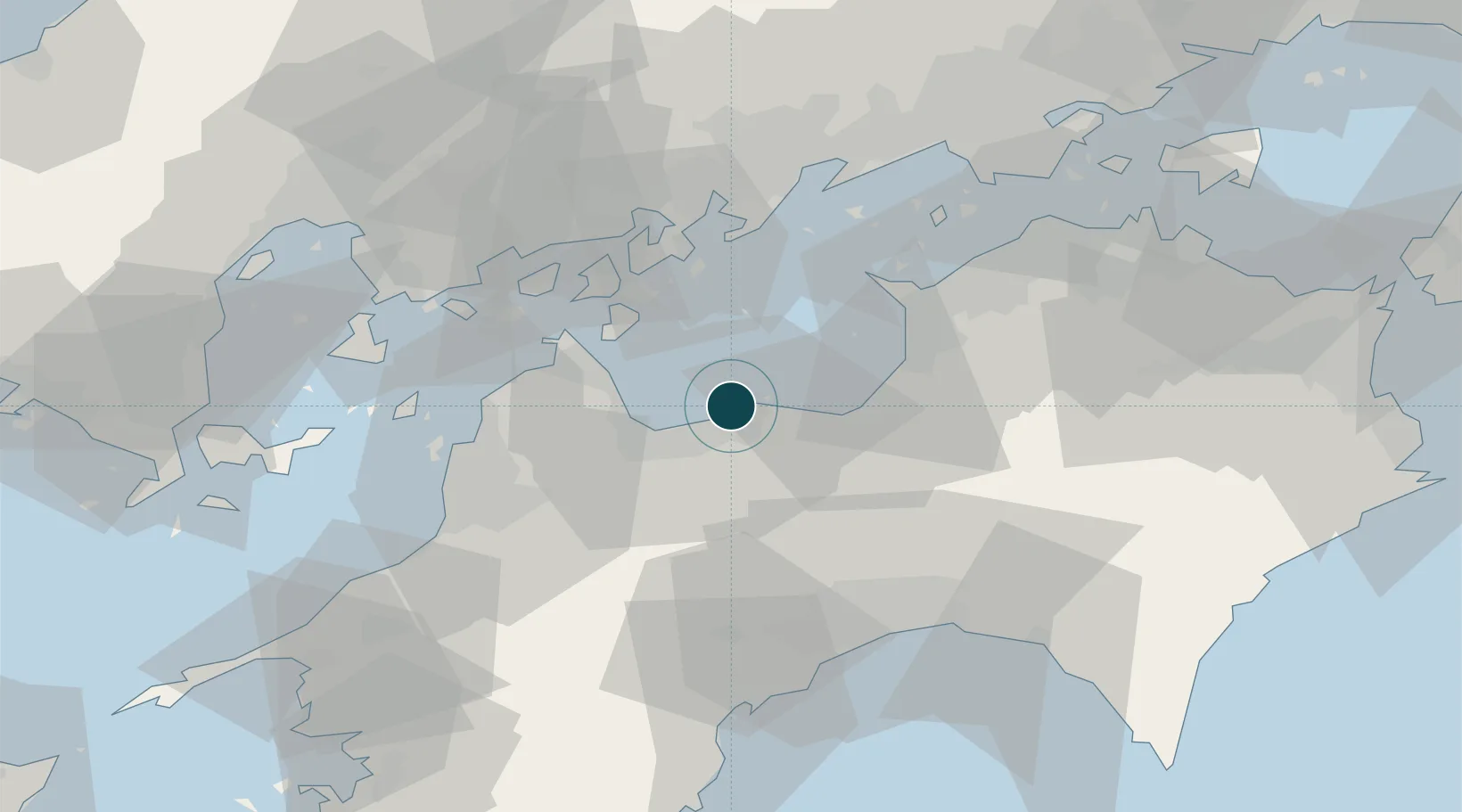
33.9833°, 133.2833°
6.4 m
Channel depth
1
Container terminals
10.8
Port liner connectivity
Channel & Berth Profile
Pilotage, Tugs & Services
Pilotage compulsoryNO
Pilotage availableYES
Pilotage advisableYES
Tug assistanceYES
Shore powerYES
Potable waterYES
MedicalYES
Facilities & Capabilities
Container—
Ro-Ro—
Liquid bulk—
Dry bulk—
Oil terminal—
Break bulk—
Dry dock—
RepairsNO
BunkeringYES
Rail link—
Dangerous cargo—
ISPS security—
Harbour Specifications
Harbour size
Small
Harbour type
Coastal (Breakwater)
Shelter
Fair
Water body
Sea of Japan; North Pacific Ocean
Tidal range
3 m
Overhead limit
Yes
Pilotage
No
Liner Connectivity
10.8
PLSCI
Port Liner Shipping Connectivity Index for Niihama, as published by UNCTAD for the latest available quarter. Higher values indicate stronger scheduled liner-shipping integration.
Shown relative to the highest per-port PLSCI in the dataset (1,657.9).
Location
Container Terminals · 1
NIIHAMA EAST PORT CONTAINER WHARF
EPCW NIIHAMA PORT AUTHORITY
Nearby Logistics Neighbours
Ports
- 1Mishima-Kawanoe Ko25 km
- 2Imabari Ko26 km
- 3Habu Ko35 km
- 4Namikata38 km
- 5Kikuma Ko42 km
Cities
- 1Toyo20 km
- 2Iyomishima24 km
- 3Mishima, Kawanoe24 km
- 4Shikokuchuo25 km
- 5Imabari25 km
Airports
- 1Matsuyama Airport57 km
- 2Kochi Ryoma Airport60 km
- 3Hiroshima Airport61 km
- 4Takamatsu Airport72 km
- 5Iwakuni Kintaikyo Airport97 km
Trade Zones
- 1Saijō Agricultural Innovation City General Special Zone12 km
- 2Hiroshima Environmental Tourism Model Urban Development Promotion Special Zone53 km
- 3Onomichi Regional Medical Cooperation Promotion Special Zone53 km
- 4Kagawa Medical Welfare General Special Zone58 km
- 5Hyper & Green Innovation Mizushima Complex General Special Zone71 km
DatabookThe Record of Consolidated Knowledge
Japan beyond logistics?