Specialized Zone · Japan
Kagawa Medical Welfare General Special Zone Active
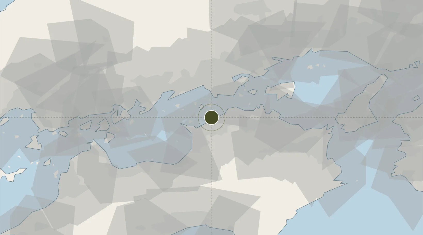
34.2985°, 133.7802°
187,700 ha
Zone area
0.3 km
Nearest port
23.5 km
Nearest airport
Gateway access
Zone profile
Zone type
Specialized Zone
Specialization
Medical
Region
Kagawa
Status
Active
Management
Public
Operator
Kagawa Prefecture
Legal framework
Prime Minister's Kagawa Medical Welfare Comprehensive Special Zone Regional Revitalization Policy
Location
Nearby Logistics Neighbours
Ports
- 1Marugame Ko0 km
- 2Sakaide Ko8 km
- 3Takuma13 km
- 4Hibi Ko22 km
- 5Mizushima Ko23 km
Airports
Cities
- 1Mitoyo, Kagawa18 km
- 2Ayagawa18 km
- 3Mizushima25 km
- 4Tamashima27 km
- 5Takamatsu27 km
Trade Zones
- 1Hyper & Green Innovation Mizushima Complex General Special Zone25 km
- 2Takamatsu Compact Eco-City Special Zone28 km
- 3Okayama-type Sustainable Socio-Economic Model Construction Comprehensive Special Zone42 km
- 4Hiroshima Environmental Tourism Model Urban Development Promotion Special Zone47 km
- 5Tokushima life innovation Comprehensive Special Zone68 km
DatabookThe Record of Consolidated Knowledge
Japan beyond logistics?