Transport Functions
Multimodal
Hub Profile
Place type
Locality
Region
Kumamoto
Time zone
Asia/Tokyo
Elevation
86 m
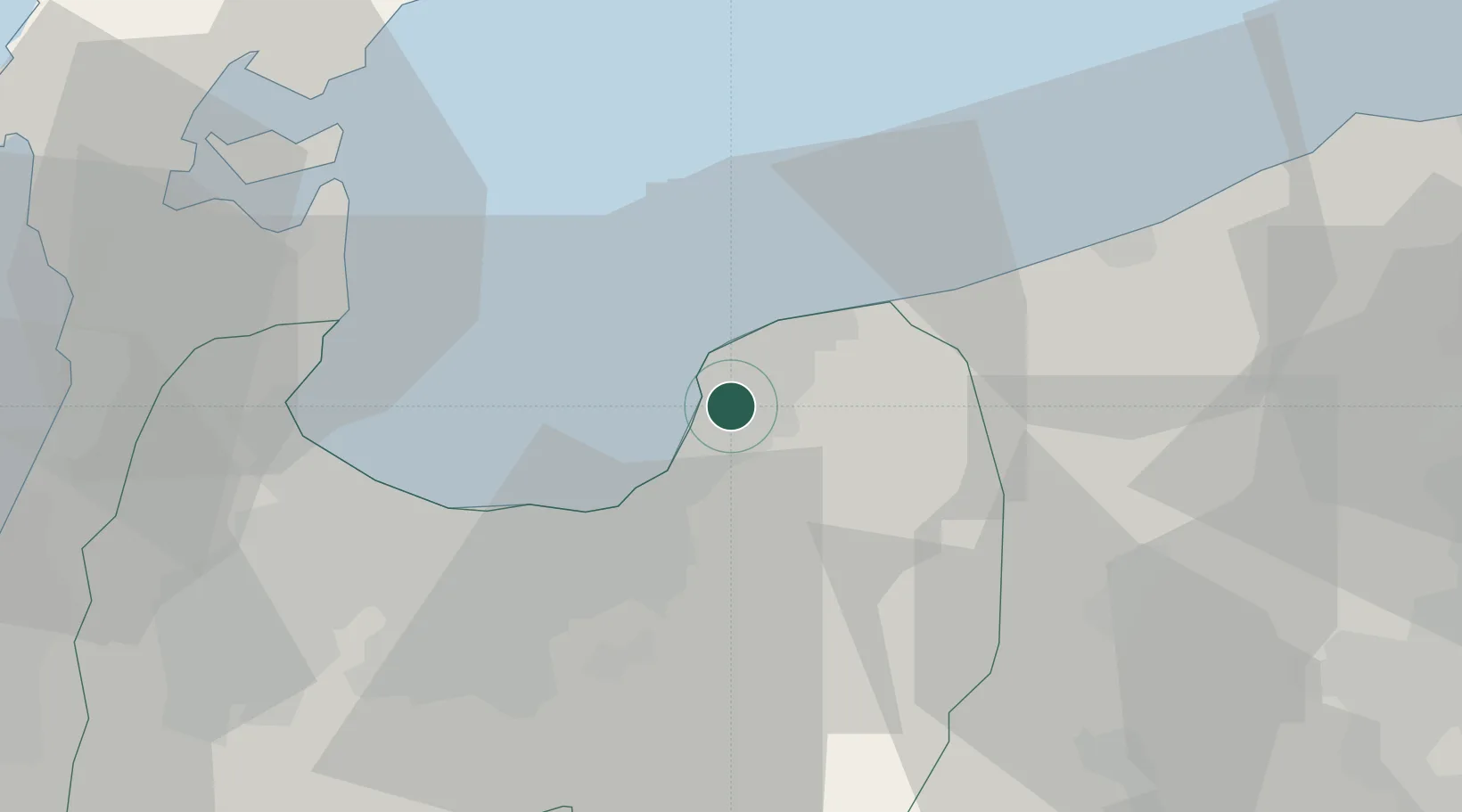
Location
Nearby Logistics Neighbours
Cities
- 1Tateyama28 km
- 2Fushikitoyama31 km
- 3Toyamashinko32 km
- 4Toyama34 km
- 5Omi35 km
Ports
- 1Fushiki-Toyama30 km
- 2Himekawa40 km
- 3Nanao Ko46 km
- 4Naoetsu Ko79 km
- 5Kanazawa81 km
Airports
- 1Toyama Kitokito Airport34 km
- 2Noto Satoyama Airport64 km
- 3Shinshu-Matsumoto Airport89 km
- 4Komatsu Airport / JASDF Komatsu Air Base107 km
- 5Fukui Airport136 km
Trade Zones
- 1Toyama Community-based Welfare Promotion Special Zone32 km
- 2Nagaoka Independent Local Community Creation Special Zone121 km
- 3Gunma Environmentally Friendly Livestock Promotion Special Zone134 km
- 4Gunma Cancer Treatment Technology Regional Revitalization Comprehensive Special Zone150 km
- 5Minami-Alps Competitiveness and Sustainability Special Zone167 km
DatabookThe Record of Consolidated Knowledge
Japan beyond logistics?