Transport Functions
Port
Rail
Road
Hub Profile
Place type
Populated place
Region
Niigata
Time zone
Asia/Tokyo
Elevation
91 m
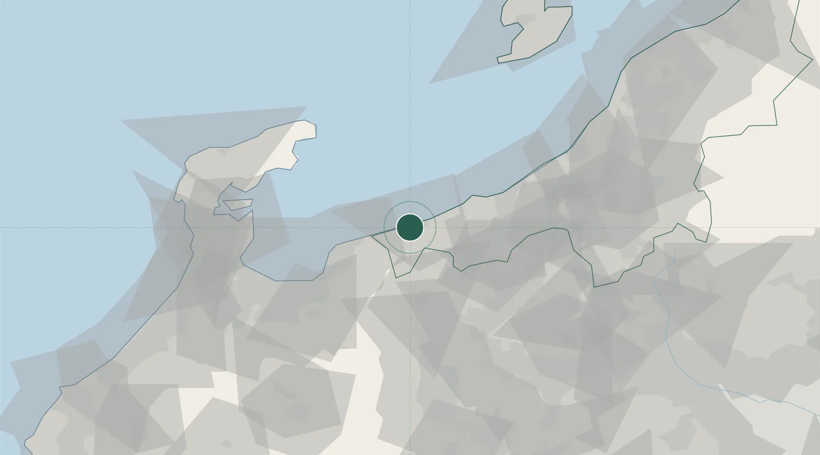
Location
Nearby Logistics Neighbours
Cities
- 1Kurobe35 km
- 2Joetsu41 km
- 3Naoetsu44 km
- 4Shinko55 km
- 5Nozawaonsen57 km
Ports
- 1Himekawa5 km
- 2Naoetsu Ko44 km
- 3Fushiki-Toyama66 km
- 4Nanao Ko73 km
- 5Kashiwazaki77 km
Airports
- 1Toyama Kitokito Airport68 km
- 2Noto Satoyama Airport80 km
- 3Shinshu-Matsumoto Airport95 km
- 4Sado Airport128 km
- 5Komatsu Airport / JASDF Komatsu Air Base142 km
Trade Zones
- 1Toyama Community-based Welfare Promotion Special Zone67 km
- 2Nagaoka Independent Local Community Creation Special Zone86 km
- 3Gunma Environmentally Friendly Livestock Promotion Special Zone108 km
- 4Gunma Cancer Treatment Technology Regional Revitalization Comprehensive Special Zone129 km
- 5Niigata City Strategic Special Zone148 km
DatabookThe Record of Consolidated Knowledge
Japan beyond logistics?