Transport Functions
Multimodal
Hub Profile
Region
20
Location
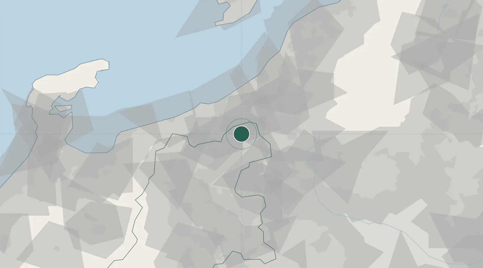
Nearby Logistics Neighbours
Cities
- 1Omachi9 km
- 2Obuse, Nagano26 km
- 3Suzaka31 km
- 4Joetsu31 km
- 5Naoetsu34 km
Ports
- 1Naoetsu Ko34 km
- 2Kashiwazaki51 km
- 3Himekawa53 km
- 4Fushiki-Toyama117 km
- 5Niigata Ko124 km
Airports
- 1Shinshu-Matsumoto Airport95 km
- 2Toyama Kitokito Airport115 km
- 3Sado Airport127 km
- 4Niigata Airport130 km
- 5Utsunomiya Airport136 km
Trade Zones
- 1Gunma Environmentally Friendly Livestock Promotion Special Zone53 km
- 2Nagaoka Independent Local Community Creation Special Zone60 km
- 3Gunma Cancer Treatment Technology Regional Revitalization Comprehensive Special Zone77 km
- 4Toyama Community-based Welfare Promotion Special Zone119 km
- 5Niigata City Strategic Special Zone123 km
DatabookThe Record of Consolidated Knowledge
Japan beyond logistics?