Large airport · Japan
Hakodate AirportRJCH
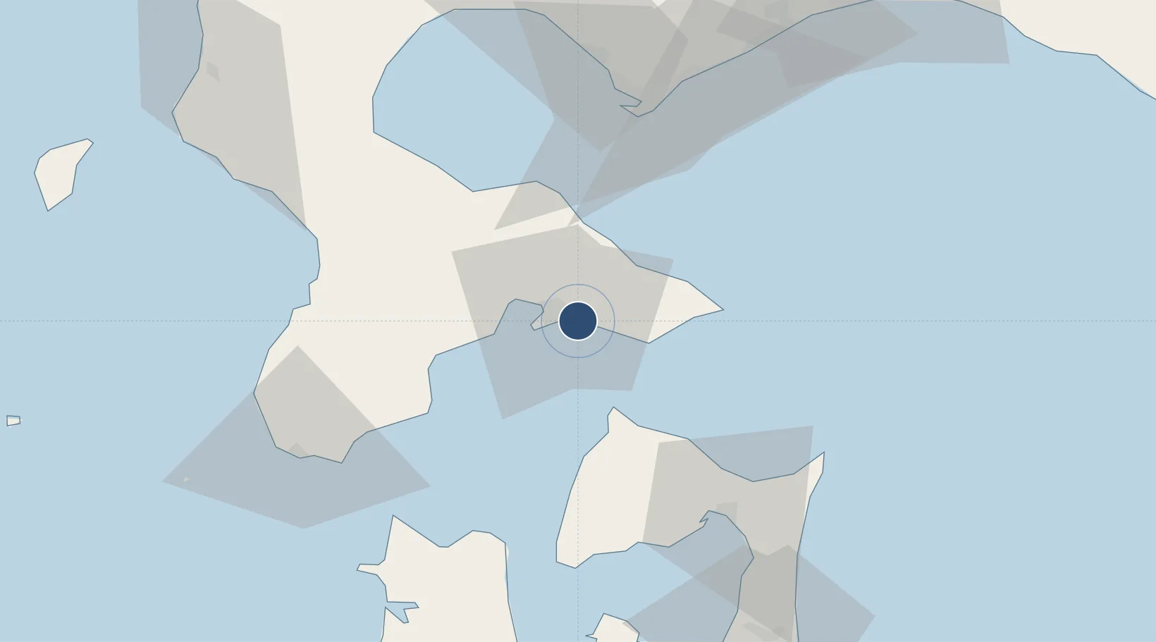
41.7700°, 140.8220°
9,842 ft
Longest runway
1
Runways
151 ft
Elevation
Runway & Layout

Radio Frequencies
ATIS
126.6 MHz
TWR
118.35 MHz
RDR
120.85 MHz
Shirakami Approach
Navaids
HW NDB Hakodate 388 kHz
HWE VOR-DME Hakodate 112.30 MHz
Runways · 1
| Runway | Dimensions | Surface | True heading | Lit |
|---|---|---|---|---|
| 12/30 | 9,842 × 148ft | Asphalt | 108° | ✓ |
Airport Specifications
IATA code
HKD
ICAO code
RJCH
Airport class
Large airport
Scheduled service
Yes
Runway surface
Asphalt
Served city
Hakodate
Location
Nearby Logistics Neighbours
Airports
- 1Aomori Airport116 km
- 2Okushiri Airport120 km
- 3Misawa Airport / Misawa Air Base127 km
- 4New Chitose Airport133 km
- 5JASDF Chitose Air Base133 km
Cities
- 1Hokuto Hokkaido15 km
- 2Fukushima, Hokkaido58 km
- 3Muroran67 km
- 4Noboribetsu81 km
- 5Yokohama, Aomori84 km
Ports
- 1Hakodate Ko9 km
- 2Mori43 km
- 3Esasi Ko59 km
- 4Muroran Ko66 km
- 5Aomori Ko104 km
DatabookThe Record of Consolidated Knowledge
Japan beyond logistics?