Channel & Berth Profile
Pilotage, Tugs & Services
MedicalYES
Facilities & Capabilities
Container—
Ro-Ro—
Liquid bulk—
Dry bulk—
Oil terminal—
Break bulk—
Dry dock—
Repairs—
Bunkering—
Rail linkYES
Dangerous cargo—
ISPS security—
Harbour Specifications
Harbour size
Very Small
Harbour type
Coastal (Breakwater)
Shelter
Poor
Water body
Sea of Japan; North Pacific Ocean
Tidal range
2 m
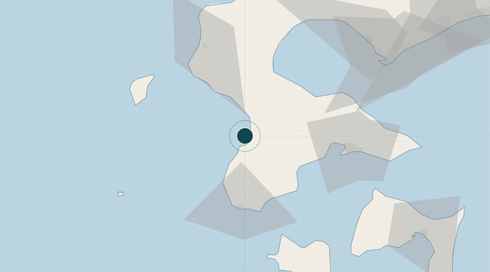
Location
Nearby Logistics Neighbours
Ports
- 1Mori48 km
- 2Hakodate Ko51 km
- 3Muroran Ko88 km
- 4Aomori Ko127 km
- 5Tomakomai Ko151 km
Cities
- 1Hokuto Hokkaido45 km
- 2Fukushima, Hokkaido46 km
- 3Muroran87 km
- 4Noboribetsu108 km
- 5Niseko, Hokkaido114 km
Airports
- 1Hakodate Airport59 km
- 2Okushiri Airport61 km
- 3Aomori Airport135 km
- 4JASDF Chitose Air Base164 km
- 5New Chitose Airport164 km
DatabookThe Record of Consolidated Knowledge
Japan beyond logistics?