Channel & Berth Profile
Pilotage, Tugs & Services
Pilotage compulsoryNO
Pilotage availableYES
Pilotage advisableYES
Tug assistanceYES
Salvage tugsNO
Potable waterYES
Diesel bunkersYES
MedicalYES
Garbage disposalYES
Facilities & Capabilities
Container—
Ro-Ro—
Liquid bulk—
Dry bulk—
Oil terminal—
Break bulk—
Dry dockNO
RepairsNO
BunkeringYES
Rail linkYES
Dangerous cargo—
ISPS security—
Harbour Specifications
Harbour size
Medium
Harbour type
Coastal (Breakwater)
Shelter
Excellent
Water body
North Pacific Ocean
Tidal range
1 m
Pilotage
No
Liner Connectivity
7.3
PLSCI
Port Liner Shipping Connectivity Index for Hakodate Ko, as published by UNCTAD for the latest available quarter. Higher values indicate stronger scheduled liner-shipping integration.
Shown relative to the highest per-port PLSCI in the dataset (1,657.9).
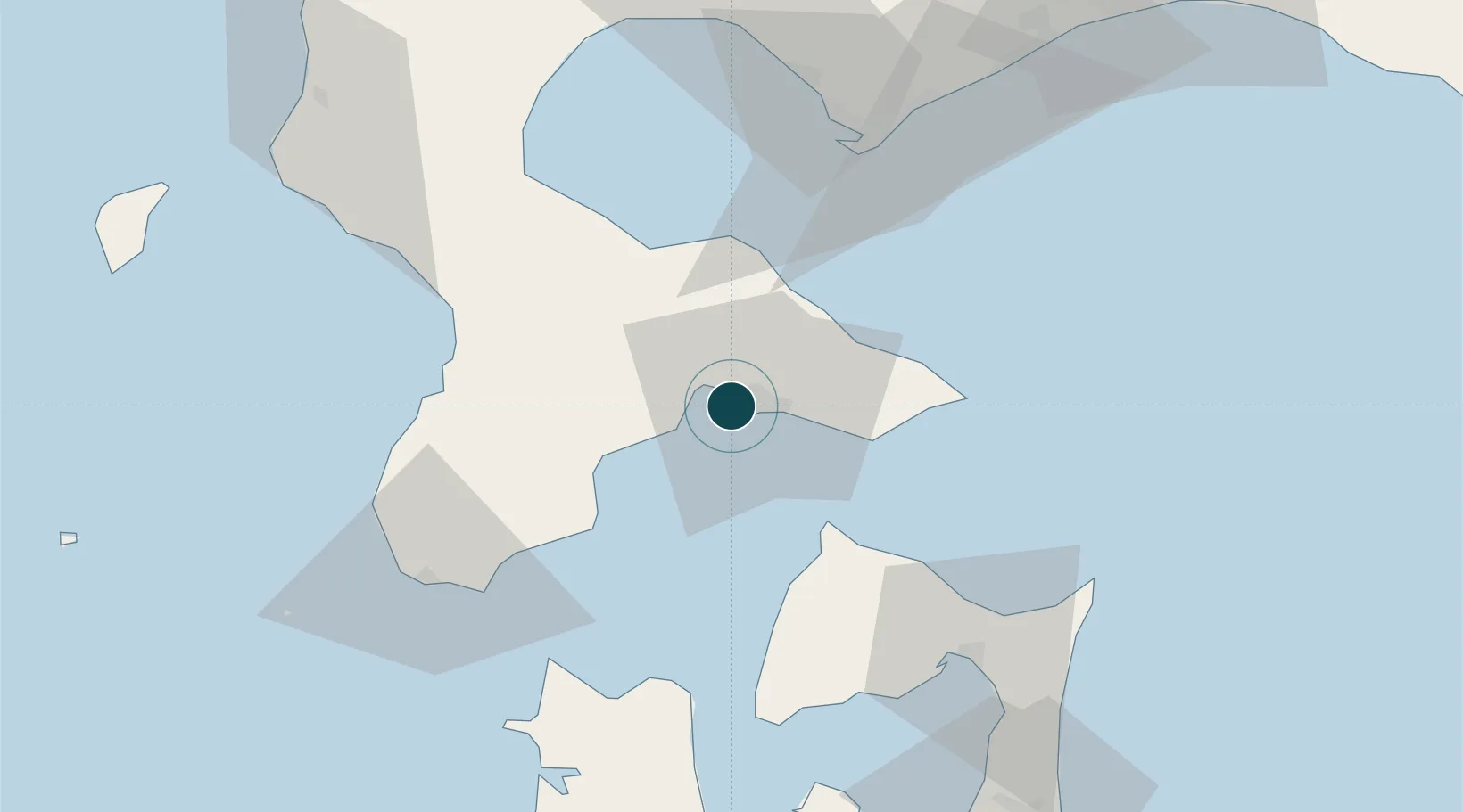
Location
Nearby Logistics Neighbours
Ports
- 1Mori39 km
- 2Esasi Ko51 km
- 3Muroran Ko66 km
- 4Aomori Ko106 km
- 5Tomakomai Ko121 km
Cities
- 1Hokuto Hokkaido7 km
- 2Fukushima, Hokkaido52 km
- 3Muroran67 km
- 4Noboribetsu83 km
- 5Yokohama, Aomori90 km
Airports
- 1Hakodate Airport9 km
- 2Okushiri Airport111 km
- 3Aomori Airport117 km
- 4Misawa Airport / Misawa Air Base132 km
- 5New Chitose Airport136 km
DatabookThe Record of Consolidated Knowledge
Japan beyond logistics?