UN/LOCODE hub · Japan
JPHOO

Hokuto Hokkaido

41.8167°, 140.6500°
1
Transport functions

Transport Functions

Multimodal
UN/LOCODE

Hub Profile

Region
01
GeoNames

Location

Location of JPHOO
Natural Earth 10m (public domain) · 01 · JPHOO · 41.82, 140.65GoogleOSMYandex

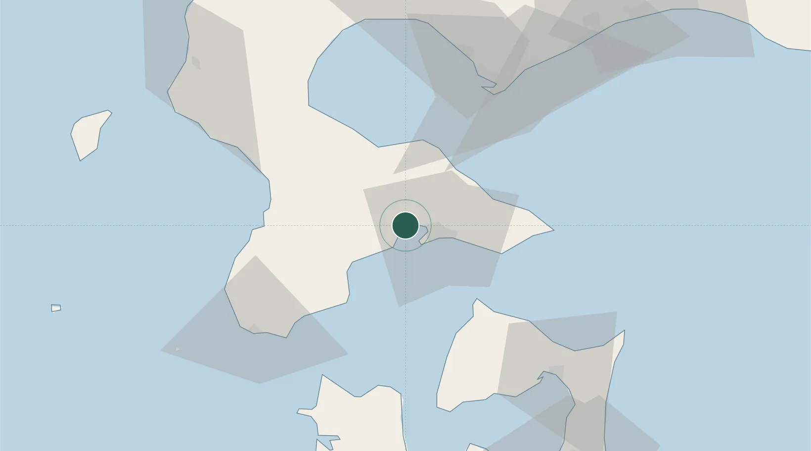
Nearby Logistics Neighbours

Cities
  1. 1Fukushima, Hokkaido51 km
  2. 2Muroran65 km
  3. 3Noboribetsu82 km
  4. 4Yokohama, Aomori96 km
  5. 5Niseko, Hokkaido109 km
Nearest neighbours — logibook spatial index (haversine) over the source coordinates
Ports
  1. 1Hakodate Ko7 km
  2. 2Mori34 km
  3. 3Esasi Ko45 km
  4. 4Muroran Ko65 km
  5. 5Aomori Ko110 km
Nearest neighbours — logibook spatial index (haversine) over the source coordinates
Airports
  1. 1Hakodate Airport15 km
  2. 2Okushiri Airport105 km
  3. 3Aomori Airport121 km
  4. 4New Chitose Airport137 km
  5. 5JASDF Chitose Air Base137 km
Nearest neighbours — logibook spatial index (haversine) over the source coordinates
DatabookThe Record of Consolidated Knowledge
Japan beyond logistics?
Browse databook

All Sources

LocationsUN/LOCODE
UN/LOCODE — free
Portsthe NGA World Port Index
Public domain (US gov)
AirportsOurAirports
Public domain
Trade Zonesthe World Bank SEZ database
CC BY 4.0
Trade ZonesOpen Zone Map
CC BY
← Japan locations