UN/LOCODE hub · Japan
JPFKU

Fukushima, Hokkaido

41.4667°, 140.2500°
2
Transport functions

Transport Functions

Port
Road
UN/LOCODE

Hub Profile

Region
01
GeoNames

Location

Location of JPFKU
Natural Earth 10m (public domain) · 01 · JPFKU · 41.47, 140.25GoogleOSMYandex

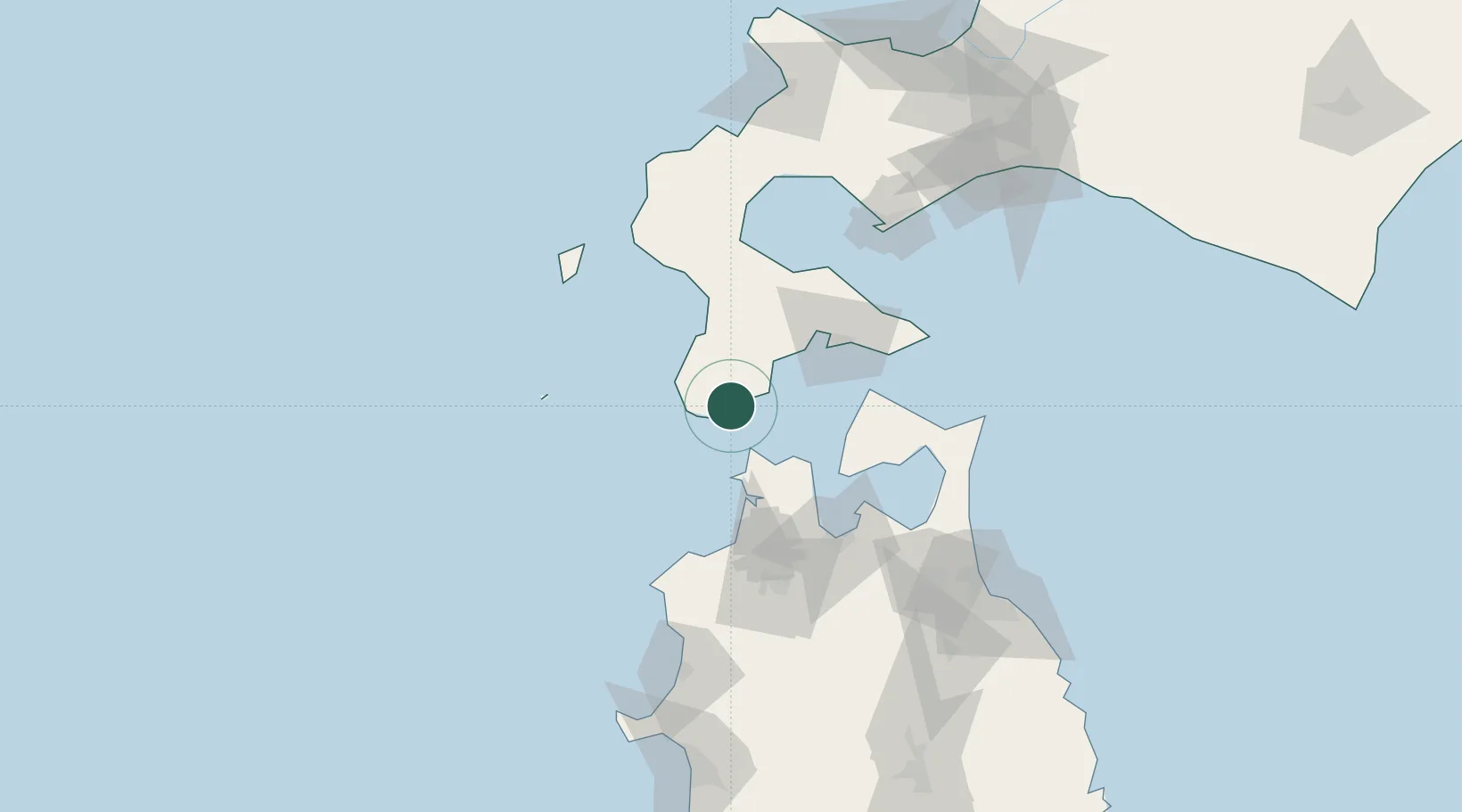
Nearby Logistics Neighbours

Cities
  1. 1Hokuto Hokkaido51 km
  2. 2Yokohama, Aomori94 km
  3. 3Muroran115 km
  4. 4Noboribetsu133 km
  5. 5Hachinohe146 km
Nearest neighbours — logibook spatial index (haversine) over the source coordinates
Ports
  1. 1Esasi Ko46 km
  2. 2Hakodate Ko52 km
  3. 3Mori77 km
  4. 4Aomori Ko82 km
  5. 5Muroran Ko115 km
Nearest neighbours — logibook spatial index (haversine) over the source coordinates
Airports
  1. 1Hakodate Airport58 km
  2. 2Aomori Airport89 km
  3. 3Okushiri Airport96 km
  4. 4Misawa Airport / Misawa Air Base126 km
  5. 5Odate Noshiro Airport142 km
Nearest neighbours — logibook spatial index (haversine) over the source coordinates
DatabookThe Record of Consolidated Knowledge
Japan beyond logistics?
Browse databook

All Sources

LocationsUN/LOCODE
UN/LOCODE — free
Portsthe NGA World Port Index
Public domain (US gov)
AirportsOurAirports
Public domain
Trade Zonesthe World Bank SEZ database
CC BY 4.0
Trade ZonesOpen Zone Map
CC BY
← Japan locations