Channel & Berth Profile
Pilotage, Tugs & Services
Pilotage compulsoryYES
Pilotage availableYES
Tug assistanceYES
Potable waterYES
MedicalYES
Garbage disposalYES
Facilities & Capabilities
Container—
Ro-Ro—
Liquid bulkYES
Dry bulkYES
Oil terminal—
Break bulkYES
Dry dock—
RepairsNO
Bunkering—
Rail link—
Dangerous cargo—
ISPS securityYES
Harbour Specifications
Harbour size
Very Small
Harbour type
Coastal (Natural)
Shelter
Fair
Water body
North Atlantic Ocean
Tidal range
2 m
Overhead limit
No
Pilotage
Yes
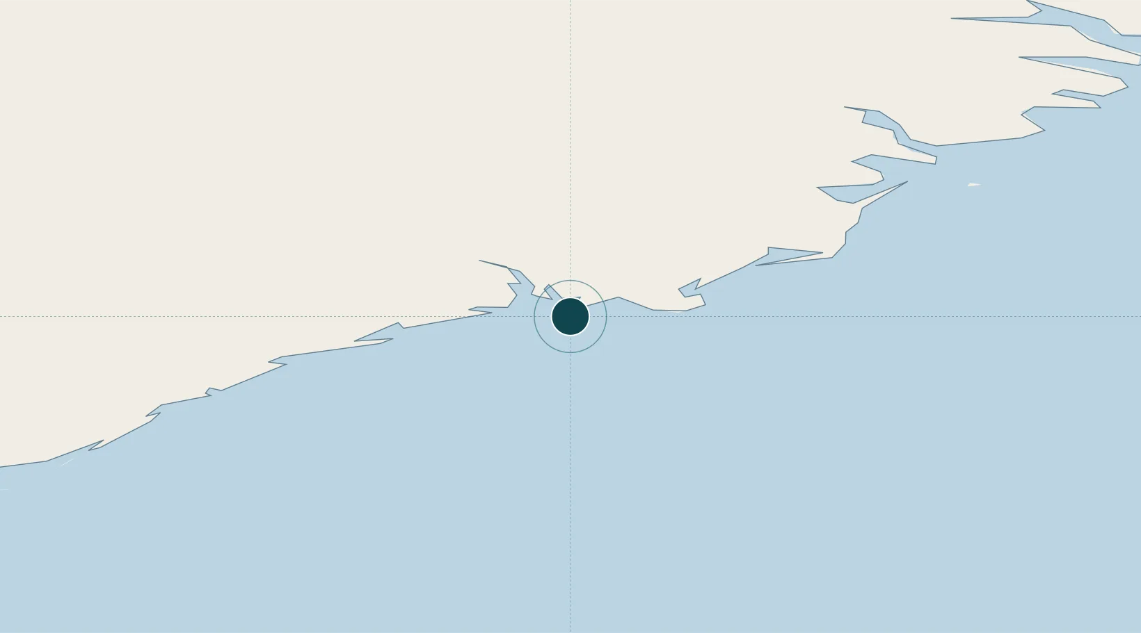
Location
Nearby Logistics Neighbours
Ports
- 1Djupivogur65 km
- 2Stodhvarfjordur92 km
- 3Budir96 km
- 4Reydarfjordur103 km
- 5Eskifjordhur108 km
Cities
- 1Djúpivogur64 km
- 2Mjoeyrarhofn96 km
- 3Gardabaer113 km
- 4Vopnafjördur168 km
- 5Bakkafjördur199 km
Airports
- 1Hornafjörður Airport5 km
- 2Egilsstaðir Airport122 km
- 3Vopnafjörður Airport165 km
- 4Mývatn Airport175 km
- 5Akureyri International Airport206 km
Trade Zones
DatabookThe Record of Consolidated Knowledge
Iceland beyond logistics?