Medium airport · Iceland

Vopnafjörður AirportBIVO
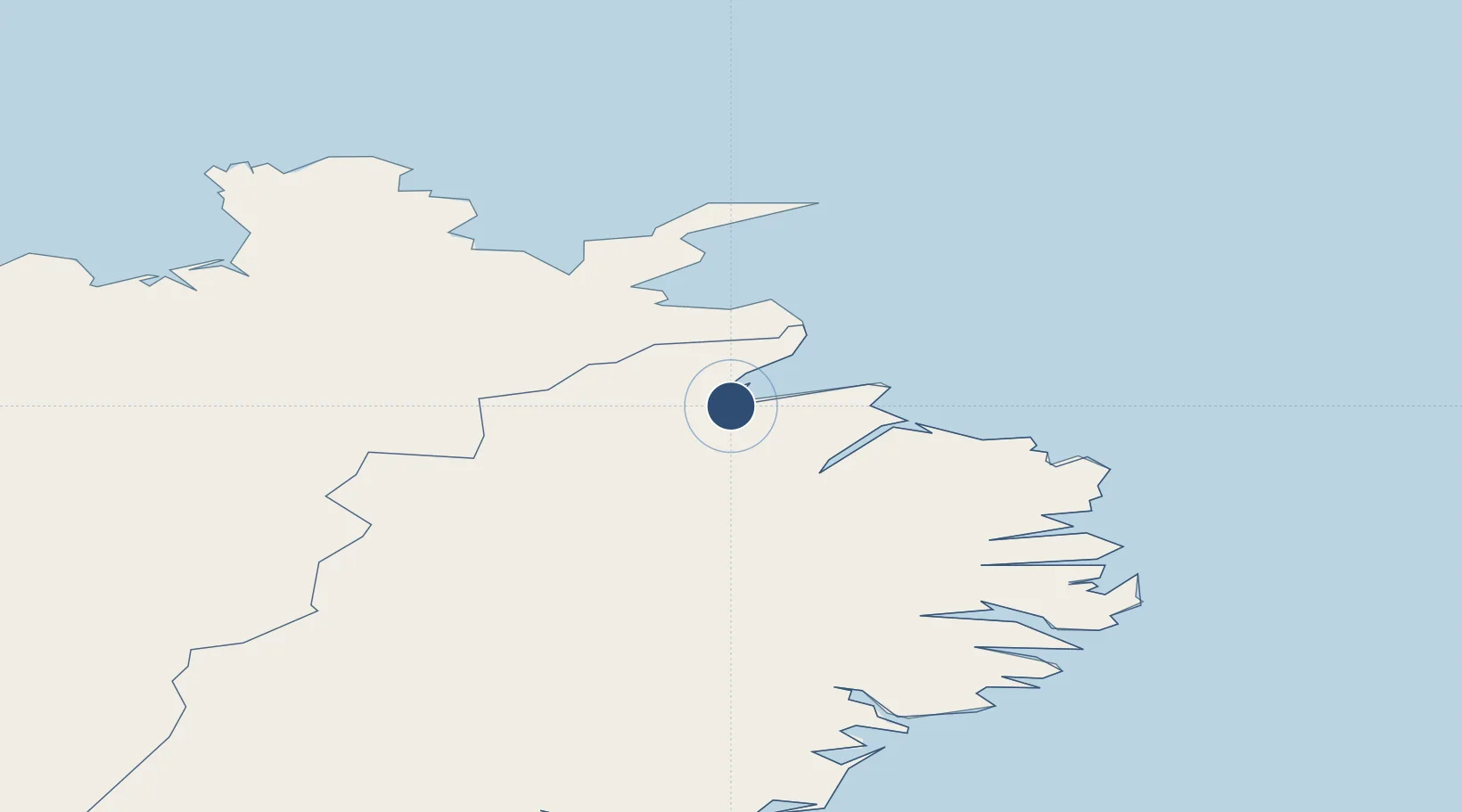
65.7206°, -14.8506°
2,904 ft
Longest runway
1
Runways
16 ft
Elevation

Runway & Layout

Vopnafjörður Airport runway & taxiway layout
Runway & taxiway layout — OpenStreetMap (ODbL) / OurAirports

Navaids

HA NDB Hofsa 348 kHz
OurAirports

Runways · 1

RunwayDimensions SurfaceTrue headingLit
04/22 2,904 × 98ft Asphalt
OurAirports

Airport Specifications

IATA code
VPN
OurAirports
ICAO code
BIVO
OurAirports
Airport class
Medium airport
OurAirports
Scheduled service
Yes
OurAirports
Runway surface
Asphalt
OurAirports
Served city
Vopnafjörður
OurAirports

Location

Location of BIVO
Natural Earth 10m (public domain) · Austurland · BIVO · 65.72, -14.85GoogleOSMYandex

Nearby Logistics Neighbours

Airports
  1. 1Egilsstaðir Airport53 km
  2. 2Þórshöfn Airport60 km
  3. 3Mývatn Airport95 km
  4. 4Húsavík Airport120 km
  5. 5Akureyri International Airport148 km
Nearest neighbours — logibook spatial index (haversine) over the source coordinates
Cities
  1. 1Vopnafjördur3 km
  2. 2Bakkafjördur35 km
  3. 3Raufarhöfn95 km
  4. 4Mjoeyrarhofn99 km
  5. 5Djúpivogur122 km
Nearest neighbours — logibook spatial index (haversine) over the source coordinates
Ports
  1. 1Vopnafjordur4 km
  2. 2Thorshofn58 km
  3. 3Seydhisfjordhur64 km
  4. 4Eskifjordhur82 km
  5. 5Neskaupstadur83 km
Nearest neighbours — logibook spatial index (haversine) over the source coordinates
Trade Zones
  1. 1Prestwick Airport Free Zone1262 km
  2. 2Carlisle Kingmoor Park Enterprise Zone1361 km
  3. 3Isle of Man Free Zone and Business Park1409 km
  4. 4Dublin International Financial Services Centre1455 km
  5. 5Blackpool Enterprise Zone1479 km
Nearest neighbours — logibook spatial index (haversine) over the source coordinates
DatabookThe Record of Consolidated Knowledge
Iceland beyond logistics?
Browse databook

All Sources

AirportsOurAirports
Public domain
Portsthe NGA World Port Index
Public domain (US gov)
LocationsUN/LOCODE
UN/LOCODE — free
Trade Zonesthe World Bank SEZ database
CC BY 4.0
Trade ZonesOpen Zone Map
CC BY
InfrastructureOpenStreetMap
ODbL 1.0
← Iceland airports