Seaport · Iceland

StodhvarfjordurISSTD

64.8333°, -13.8833°
55.0 m
Channel depth

Channel & Berth Profile

SEA LEVEL (CD)CHANNEL BEDAnchorage · 35.0 mChannel · 55.0 m
NGA World Port Index

Facilities & Capabilities

Container
Ro-Ro
Liquid bulk
Dry bulk
Oil terminal
Break bulk
Dry dock
Repairs
Bunkering
Rail link
Dangerous cargo
ISPS security
NGA World Port Index

Harbour Specifications

Water body
North Atlantic Ocean
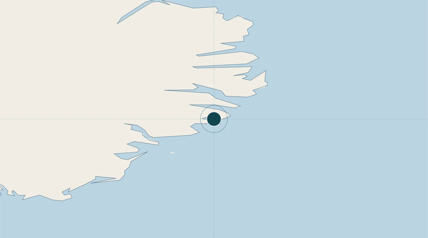
NGA World Port Index

Location

Location of ISSTD
Natural Earth 10m (public domain) · Austurland · ISSTD · 64.83, -13.88GoogleOSMYandex

Nearby Logistics Neighbours

Ports
  1. 1Budir13 km
  2. 2Reydarfjordur25 km
  3. 3Djupivogur27 km
  4. 4Eskifjordhur27 km
  5. 5Neskaupstadur36 km
Nearest neighbours — logibook spatial index (haversine) over the source coordinates
Cities
  1. 1Mjoeyrarhofn10 km
  2. 2Djúpivogur28 km
  3. 3Höfn, Hornafjørdur91 km
  4. 4Gardabaer95 km
  5. 5Vopnafjördur111 km
Nearest neighbours — logibook spatial index (haversine) over the source coordinates
Airports
  1. 1Egilsstaðir Airport56 km
  2. 2Hornafjörður Airport88 km
  3. 3Vopnafjörður Airport108 km
  4. 4Þórshöfn Airport168 km
  5. 5Mývatn Airport168 km
Nearest neighbours — logibook spatial index (haversine) over the source coordinates
Trade Zones
  1. 1Prestwick Airport Free Zone1154 km
  2. 2Carlisle Kingmoor Park Enterprise Zone1254 km
  3. 3North Eastern Enterprise Zone1288 km
  4. 4Isle of Man Free Zone and Business Park1301 km
  5. 5Tees Valley Enterprise Zone1337 km
Nearest neighbours — logibook spatial index (haversine) over the source coordinates
DatabookThe Record of Consolidated Knowledge
Iceland beyond logistics?
Browse databook

All Sources

Portsthe NGA World Port Index
Public domain (US gov)
AirportsOurAirports
Public domain
LocationsUN/LOCODE
UN/LOCODE — free
Trade Zonesthe World Bank SEZ database
CC BY 4.0
Trade ZonesOpen Zone Map
CC BY
← Iceland ports