Medium airport · Iceland

Egilsstaðir AirportBIEG
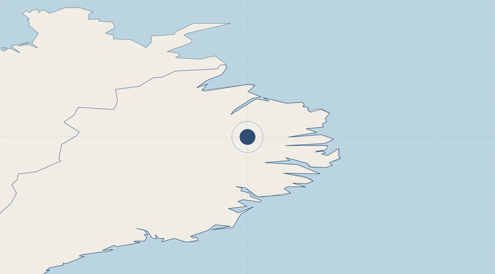
65.2833°, -14.4014°
7,054 ft
Longest runway
1
Runways
76 ft
Elevation

Runway & Layout

Egilsstaðir Airport runway & taxiway layout
Runway & taxiway layout — OpenStreetMap (ODbL) / OurAirports

Radio Frequencies

ACC
119.7 MHz
REYKJAVIK ACC
AFIS
119.4 MHz
RDO
OurAirports

Navaids

BR NDB Breidavad 382 kHz
ES NDB Egilsstadir 365 kHz
VA NDB Vad 335 kHz
OurAirports

Runways · 1

RunwayDimensions SurfaceTrue headingLit
03/21 7,054 × 148ft Asphalt 025°
OurAirports

Airport Specifications

IATA code
EGS
OurAirports
ICAO code
BIEG
OurAirports
Airport class
Medium airport
OurAirports
Scheduled service
Yes
OurAirports
Runway surface
Asphalt
OurAirports
Served city
Egilsstaðir
OurAirports

Location

Location of BIEG
Natural Earth 10m (public domain) · Austurland · BIEG · 65.28, -14.40GoogleOSMYandex

Nearby Logistics Neighbours

Airports
  1. 1Vopnafjörður Airport53 km
  2. 2Þórshöfn Airport112 km
  3. 3Hornafjörður Airport117 km
  4. 4Mývatn Airport123 km
  5. 5Húsavík Airport158 km
Nearest neighbours — logibook spatial index (haversine) over the source coordinates
Cities
  1. 1Mjoeyrarhofn46 km
  2. 2Vopnafjördur56 km
  3. 3Djúpivogur71 km
  4. 4Bakkafjördur85 km
  5. 5Höfn, Hornafjørdur121 km
Nearest neighbours — logibook spatial index (haversine) over the source coordinates
Ports
  1. 1Seydhisfjordhur19 km
  2. 2Eskifjordhur30 km
  3. 3Reydarfjordur31 km
  4. 4Neskaupstadur37 km
  5. 5Budir43 km
Nearest neighbours — logibook spatial index (haversine) over the source coordinates
Trade Zones
  1. 1Prestwick Airport Free Zone1209 km
  2. 2Carlisle Kingmoor Park Enterprise Zone1309 km
  3. 3Isle of Man Free Zone and Business Park1356 km
  4. 4Dublin International Financial Services Centre1403 km
  5. 5Blackpool Enterprise Zone1427 km
Nearest neighbours — logibook spatial index (haversine) over the source coordinates
DatabookThe Record of Consolidated Knowledge
Iceland beyond logistics?
Browse databook

All Sources

AirportsOurAirports
Public domain
Portsthe NGA World Port Index
Public domain (US gov)
LocationsUN/LOCODE
UN/LOCODE — free
Trade Zonesthe World Bank SEZ database
CC BY 4.0
Trade ZonesOpen Zone Map
CC BY
InfrastructureOpenStreetMap
ODbL 1.0
← Iceland airports