Transport Functions
Port
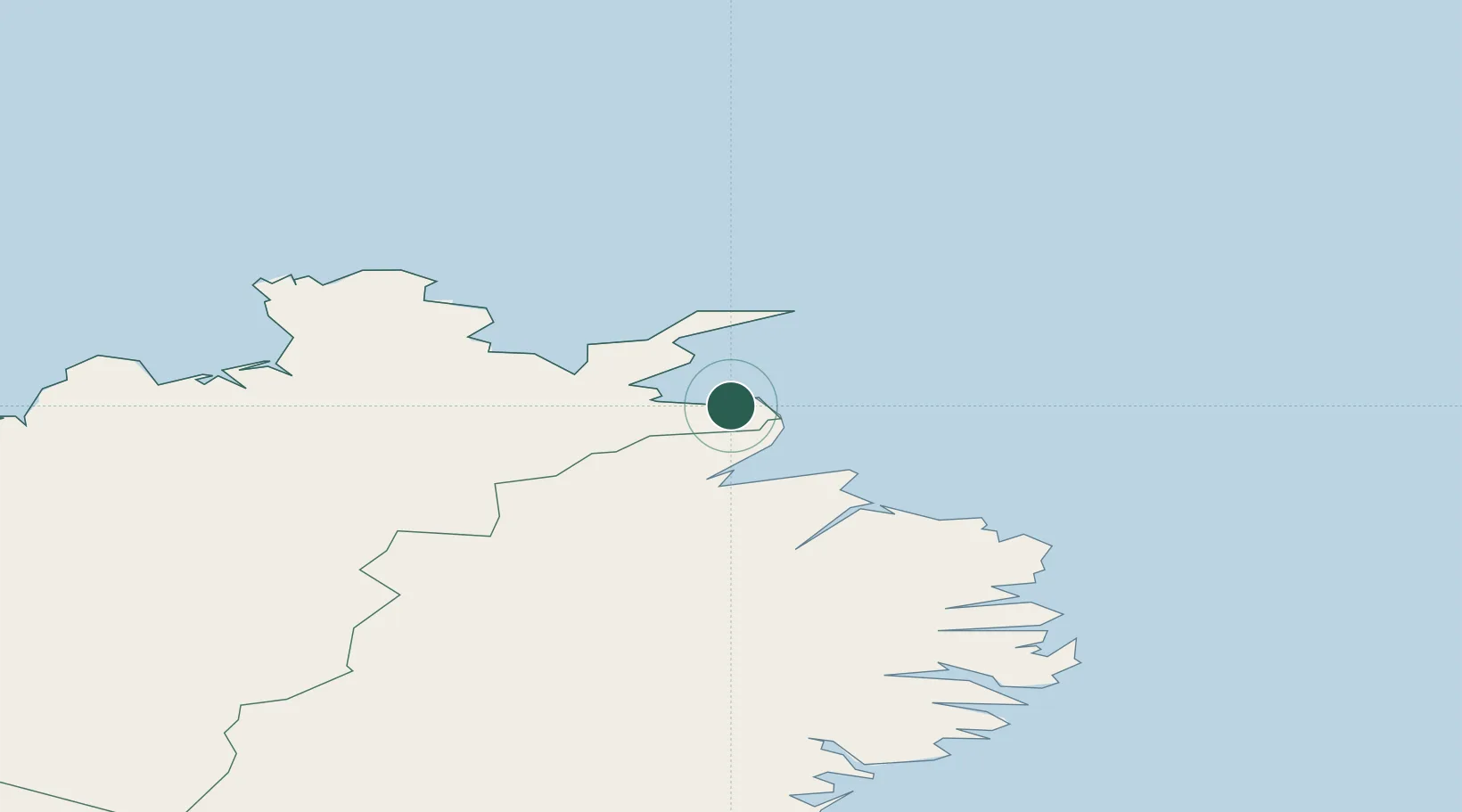
Location
Nearby Logistics Neighbours
Cities
- 1Vopnafjördur32 km
- 2Raufarhöfn69 km
- 3Mjoeyrarhofn130 km
- 4Grenivík153 km
- 5Akureyri154 km
Ports
- 1Thorshofn30 km
- 2Vopnafjordur32 km
- 3Raufarhofn69 km
- 4Seydhisfjordhur93 km
- 5Neskaupstadur111 km
Airports
- 1Þórshöfn Airport32 km
- 2Vopnafjörður Airport35 km
- 3Egilsstaðir Airport85 km
- 4Mývatn Airport105 km
- 5Húsavík Airport119 km
Trade Zones
- 1Prestwick Airport Free Zone1291 km
- 2Carlisle Kingmoor Park Enterprise Zone1389 km
- 3North Eastern Enterprise Zone1420 km
- 4Isle of Man Free Zone and Business Park1439 km
- 5Tees Valley Enterprise Zone1469 km
DatabookThe Record of Consolidated Knowledge
Iceland beyond logistics?